Fiskebekkåsen circular hike in Siljan
Family-friendly hike at Fiskebekkåsen in Siljan – an easy 4.7 km forest trail with historic burial mounds, blueberry picking, and scenic nature.
About
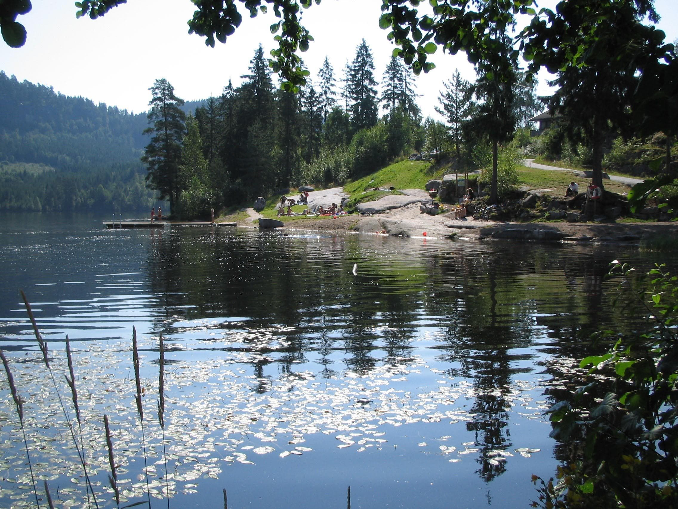
Fiskebekkåsen is a popular hiking area in Siljan, Norway, well-suited for all ages. The trail is easy, family-friendly, and takes you through varied landscapes of forest, heather, and small marshes. In autumn, it’s also a great spot for blueberry picking. Along the way, you’ll pass ancient burial mounds and follow sections of a historic riding path that has been in use for centuries.
Hike Facts
- Distance: approx. 4.2–4.7 km round trip
- Duration: about 1 h 20 min
- Difficulty: Easy
- Season: May – October
- Family-friendly: Yes
Route Description
The hike starts across from Solvika Café, along Skisjøvegen. Pass the barrier and walk about 100 m, then take the marked trail to the right toward Fiskebekkåsen. The trail is waymarked in blue by Siljan Turlag, though it can be easy to lose when ascending the hillside.
The route leads through beautiful forest terrain with heather and marsh areas before crossing Gamlevegen, an old route once used between Skien and Siljan. After the crossing, the trail continues toward the floodlit ski track. From here, follow the marked path back toward the ski arena and return to the starting point near the barrier.
Shorter Alternative
For a shorter hike, you can turn left after crossing Skisjøvegen and follow the trail back to Solvika Café.
Longer Alternative
If you want to extend your trip, you can combine the round trip with a detour to Holmfjell, which offers panoramic views of Lake Skisjø and Vestre Vealøs.
History and Nature
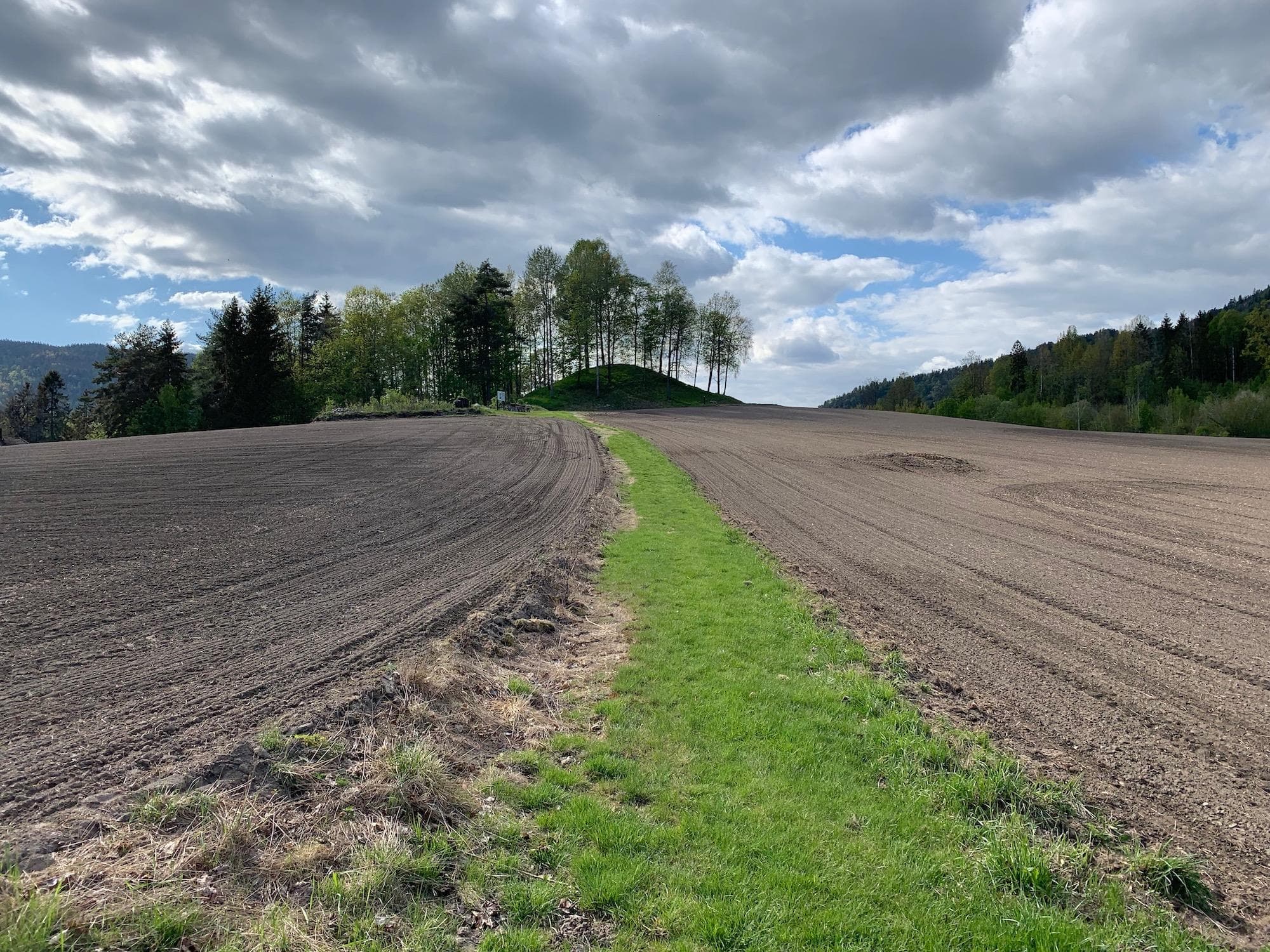
Along the trail you’ll find two large, clearly visible burial mounds. The path also follows stretches of the old riding road — a historic route used for hundreds of years. The varied landscape provides both cultural insight and rich natural experiences.
Getting There & Parking
By car: From County Road 32, turn at Solvika Café toward the ski hill. Parking is available 100 m on the left-hand side. Alternatively, park at the ski arena near the water tower (Vanntårnet). From there, walk 100–200 m back along Industriveien and turn left through the Heiveien residential area to join the trail.
By bus: Take the Grenland Express or local bus P7 to Heivannet/Solvika Café. The trailhead is just 100–200 m away.
The trail is well signposted and waymarked by Siljan Turlag.
Responsible Hiking
To preserve the natural environment:
- Stay on marked trails
- Carry out all trash
- Respect wildlife and local rules
- Show consideration for other hikers
By hiking responsibly, you help keep the area beautiful and sustainable for future generations.
Contact
siljan.turlag@dnt.no
Location
Practical information
- Tours
- Tour suggestions
- Hiking
- Nature trails
Nearby events







"En Showgirls bekjennelse" med Guri Schanke – 12. november på Quality Hotel™ Skjærgården
Stathelleveien 35, 3970 Langesund







Kunnskap på storskjerm: Da imperiet falt - en historisk reise gjennom Østerrike
Krabberødstrand 14, 3960 Stathelle



Barnas Jul med Erik & Kalle - 29.desember på Quality Hotel™ Skjærgården
Stathelleveien 35, 3970 Langesund



Related
Guided hike with the landowner at Gautefallheia Sverre Tveit
Felehovet Sør 1, 3855 Treungen
Via Ferrata in Fyresdal
Telemark Camping, Fyresdal, Norge
Gaustatoppen
Stavsro, 3660 Rjukan

Bø Sommarland Waterpark
Steintjønnvegen 2, 3800 Bø i Telemark
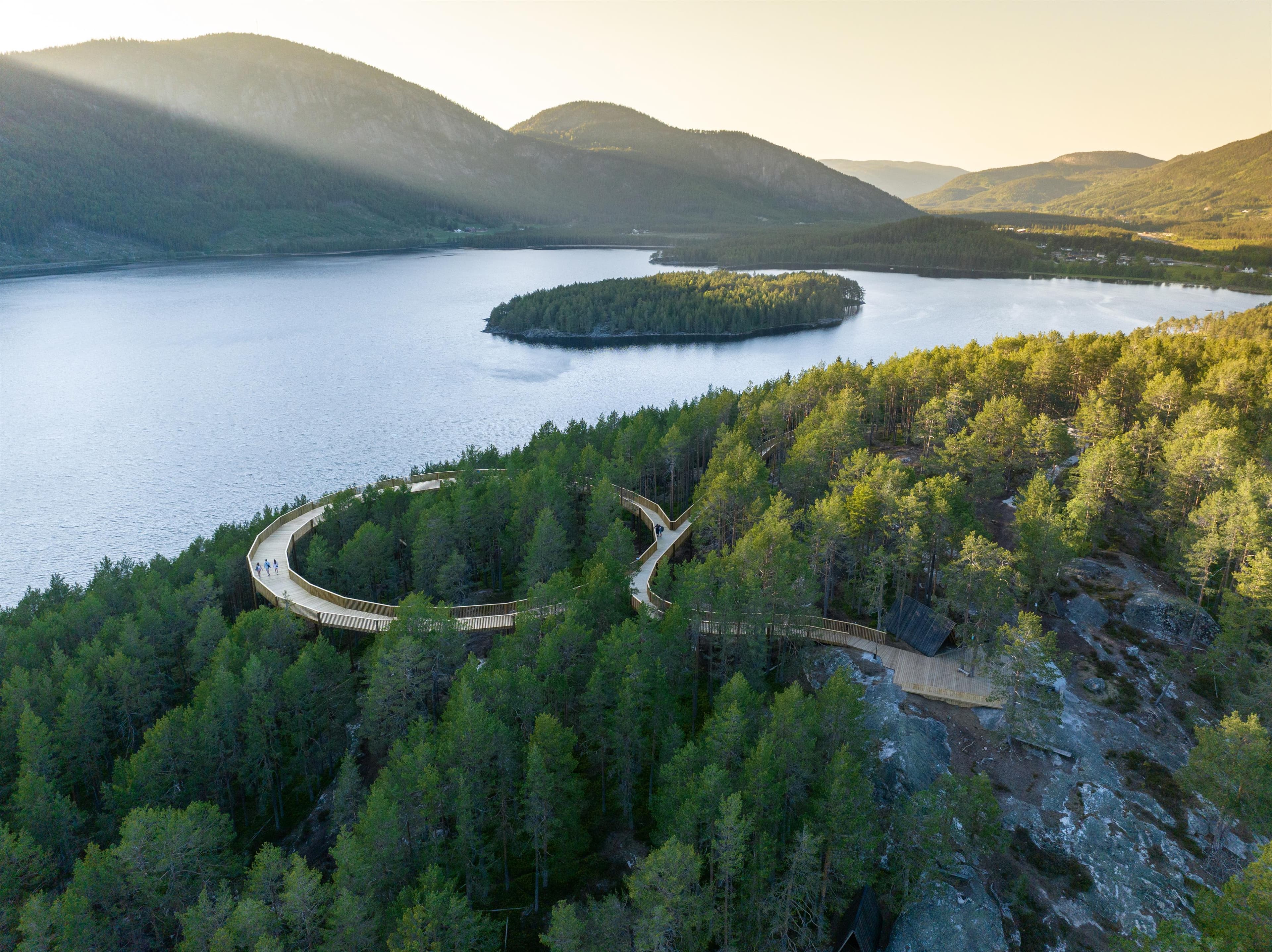
Hamaren
3870 Fyresdal
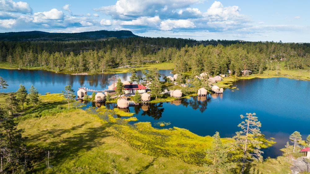
Norrøna Canvas Telemark
Heimdal, 3855 Treungen
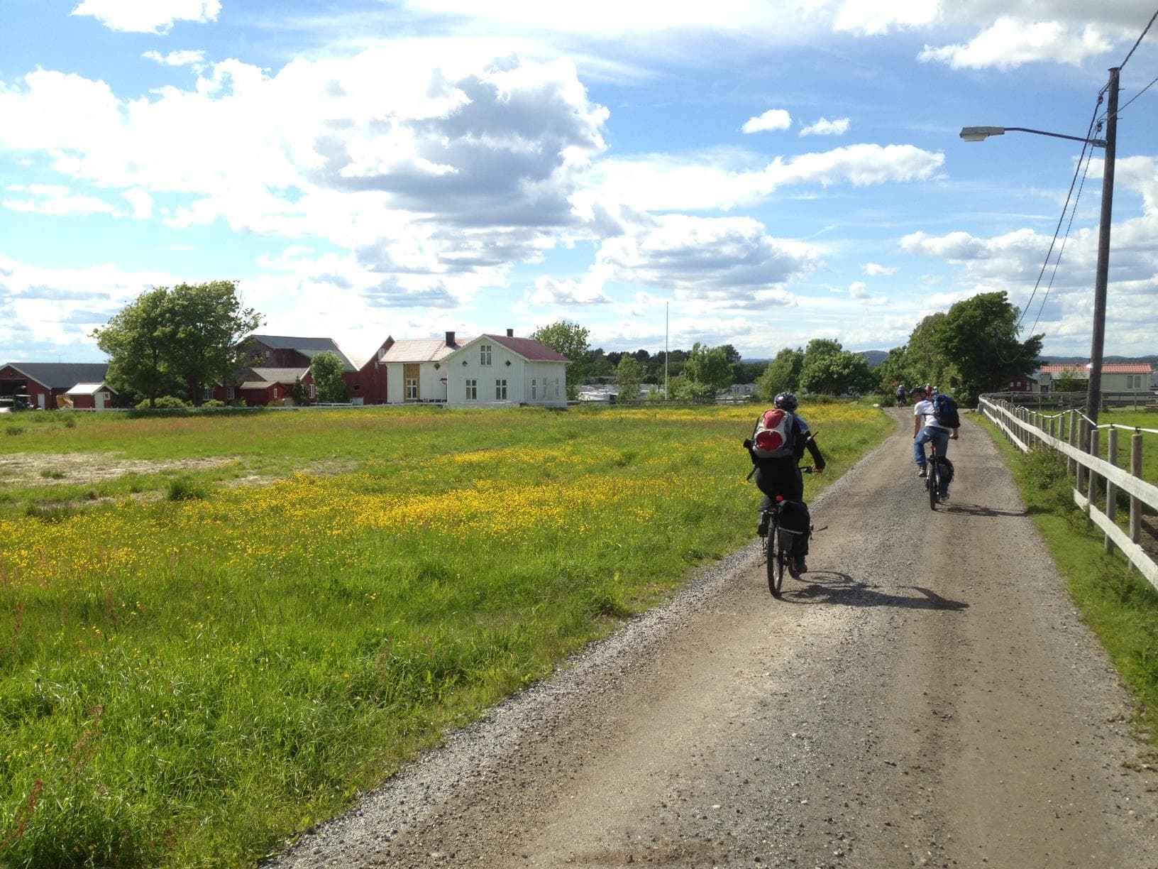
Island hopping with bicycle
3770 Kragerø
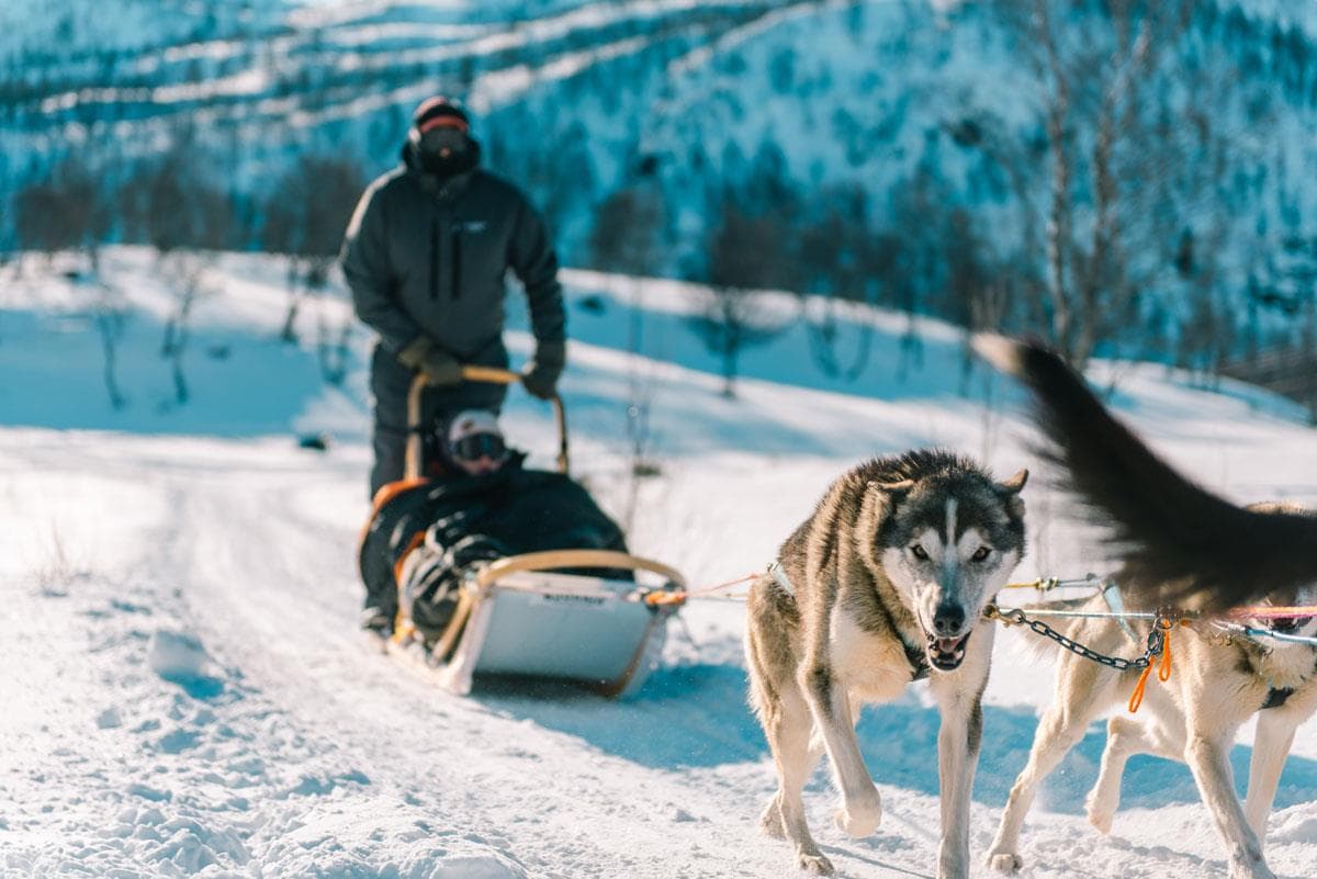
Haukeli Husky
Arabygdvegen 800, 3864 Rauland
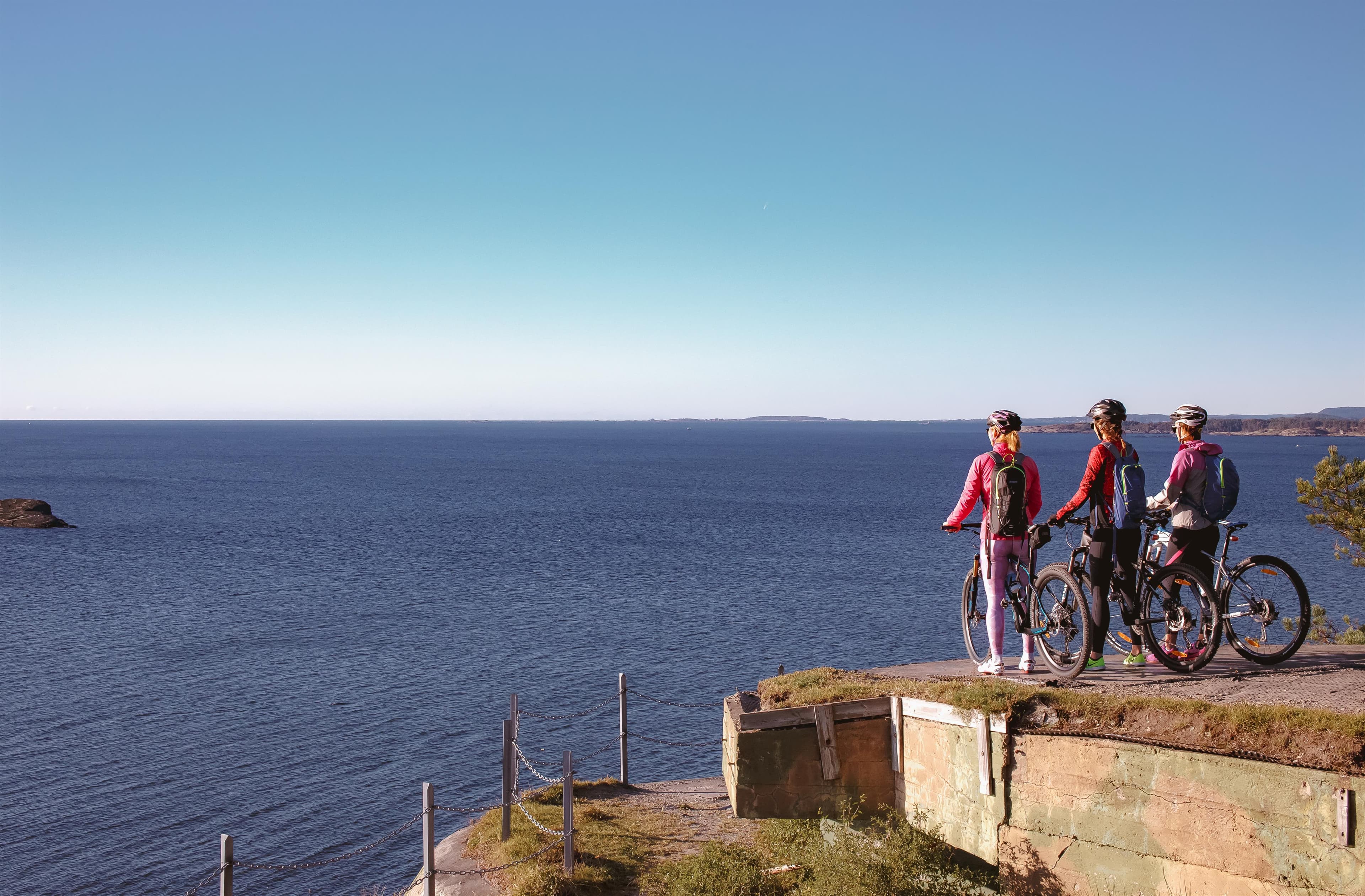
Skjærgårdsruta - The archipelago route
Stathellevn. 35, 3970 Langesund
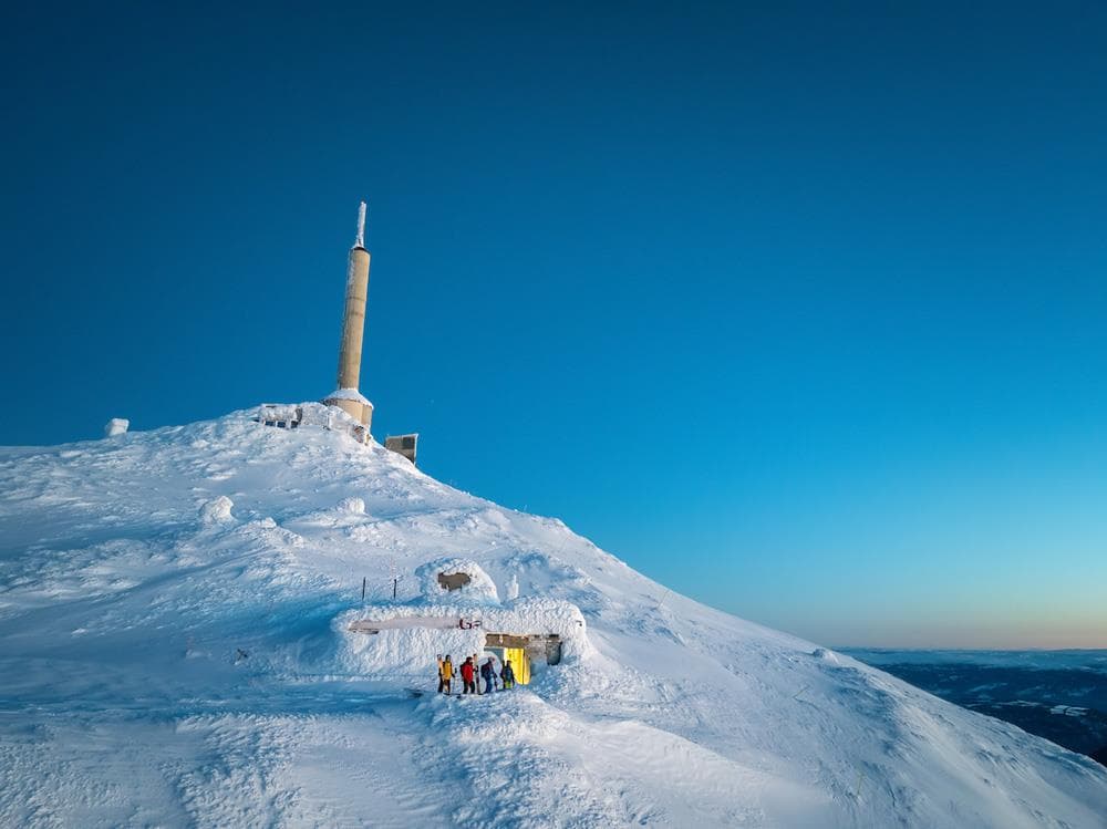
Off piste from Gaustatoppen
Gaustatoppen, 3660 Rjukan
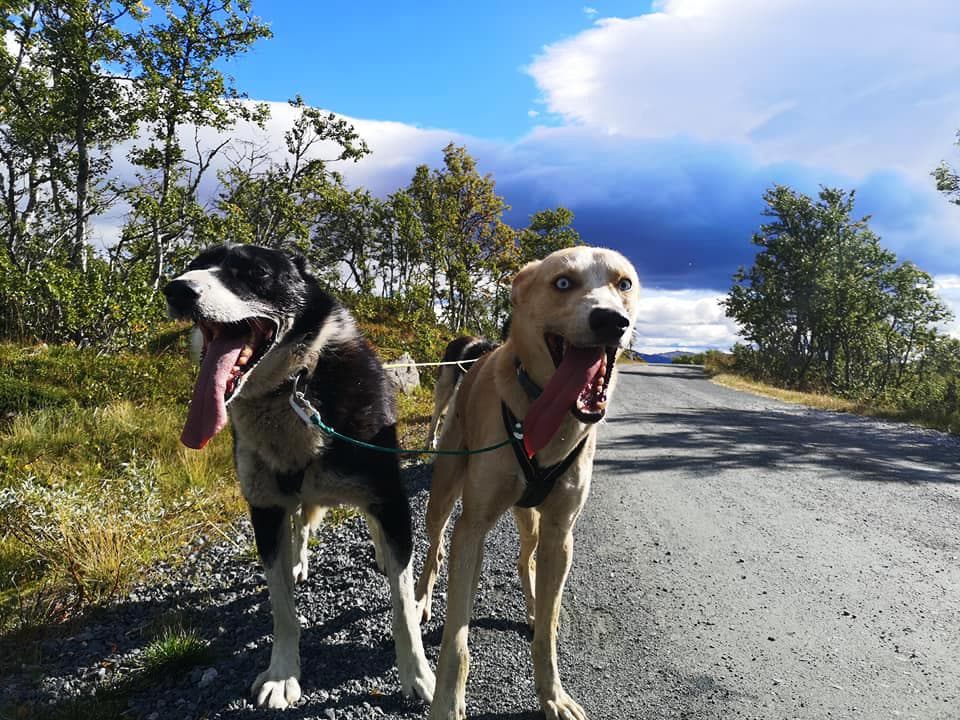
Telemark Husky Tour
3864 Rauland
Mjonøy - Smorklepp Art Museum - Sorensen and Kihle
Mjonøy, 3890 Vinje
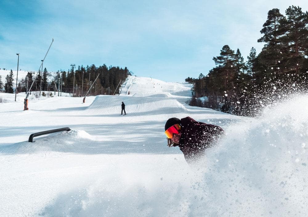
Gautefall Ski Resort
Gautefallheia, 3750 Drangedal
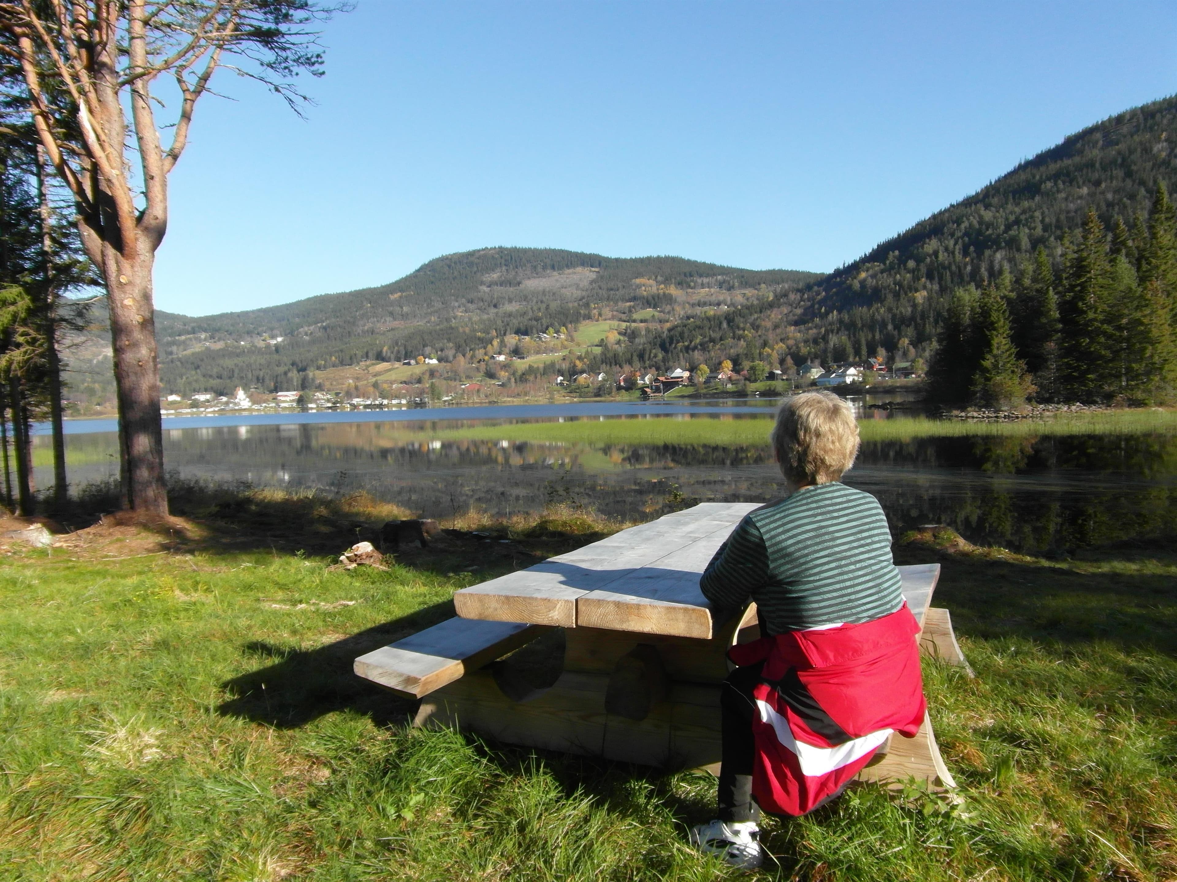
Hjartdal - Bjårvatn
Fossehalli, ungdomshuset i Tuddal, 3697 Tuddal
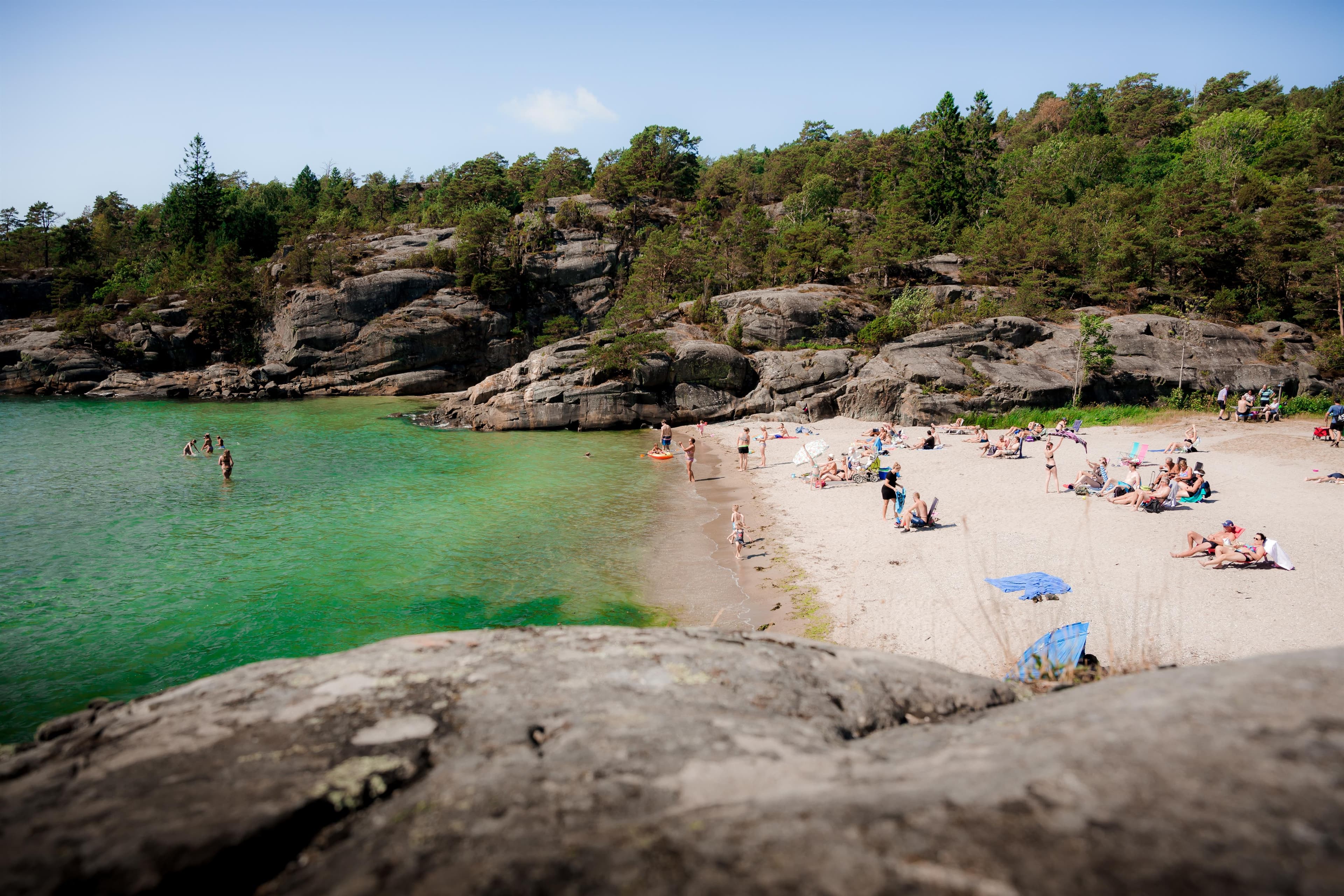
Hydrostranda - Bamble
3960 Stathelle
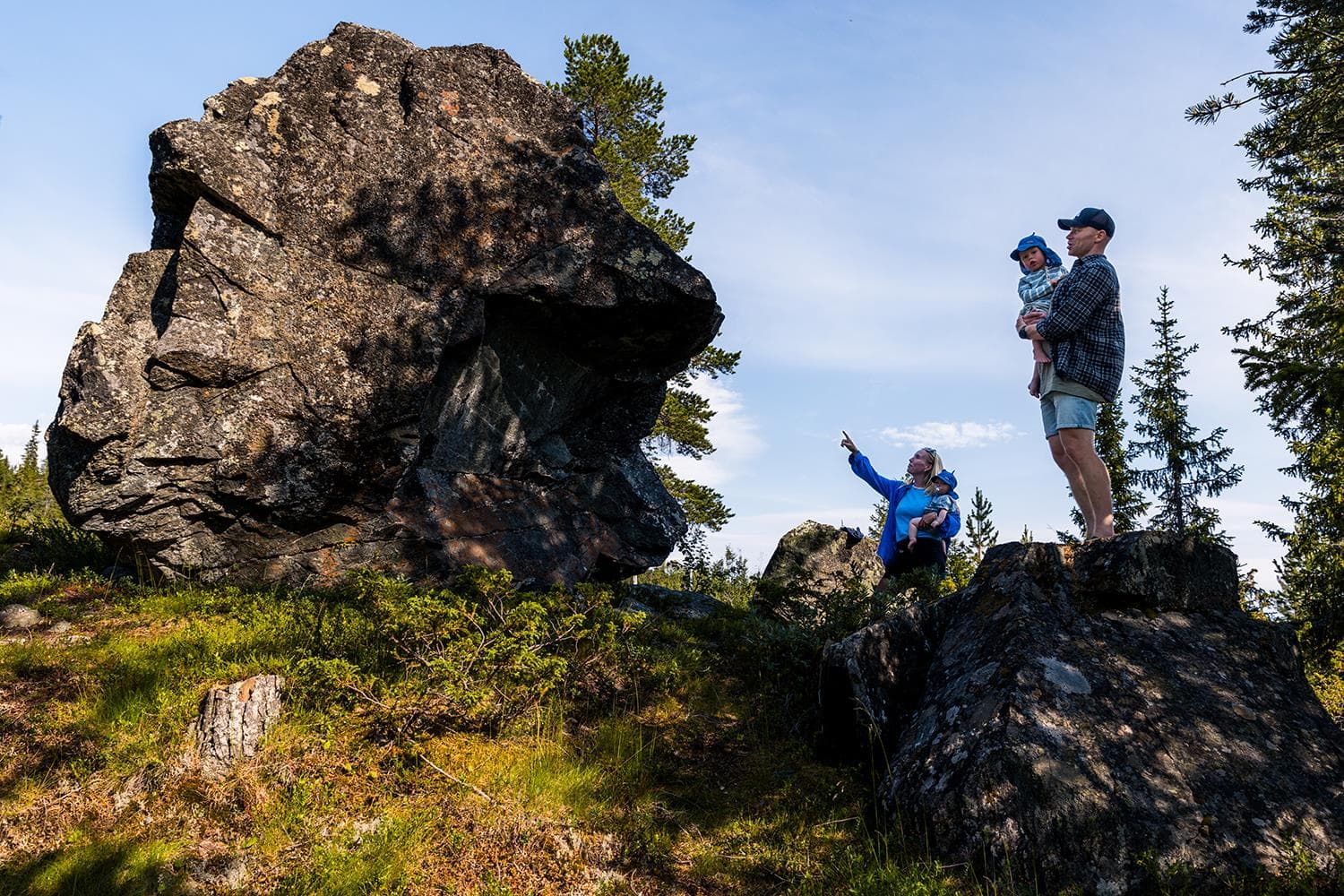
Kjerringstein trail
Hotellvegen 100, 3697 Tuddal
Lifjell Ski Resort
Lifjellvegen 833, 3804 Bø i Telemark
Morgedal Activ
Bygglandvegen 39, 3848 Morgedal

Nearby activities
Cultural trail Elgtråkket
3748 Siljan
Hiking to Blåfjell
3748 Siljan
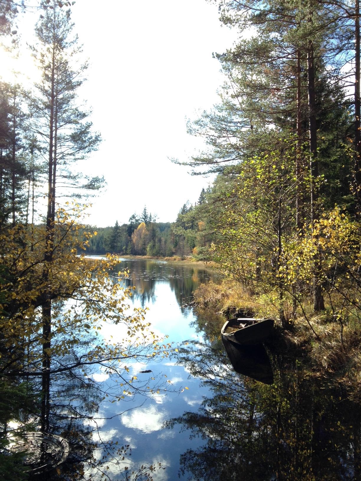
Hiking Galtetjern
3748 Siljan
Top trip to Middagskollane and the viewpoint Signalkulen
3748 Siljan
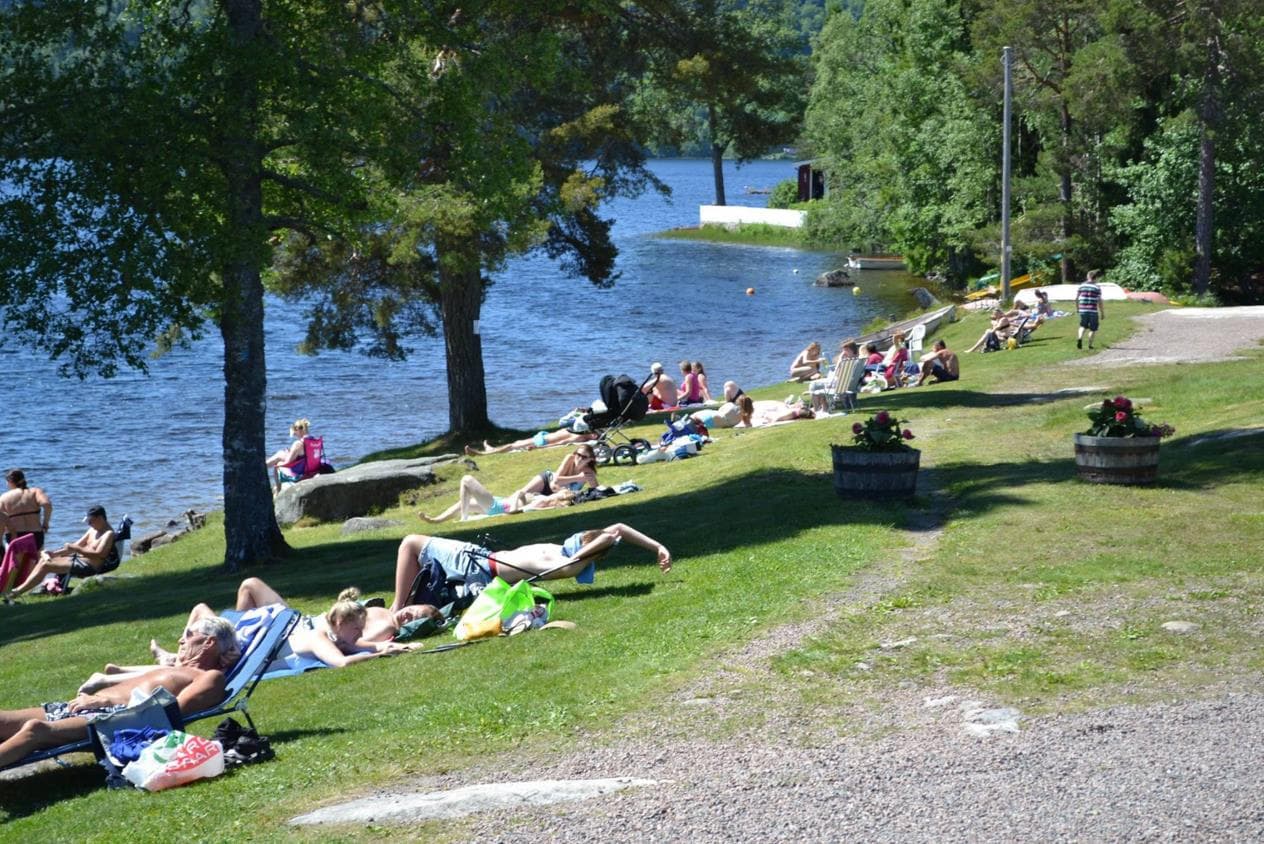
Heivannet swimming spot
3748 Siljan
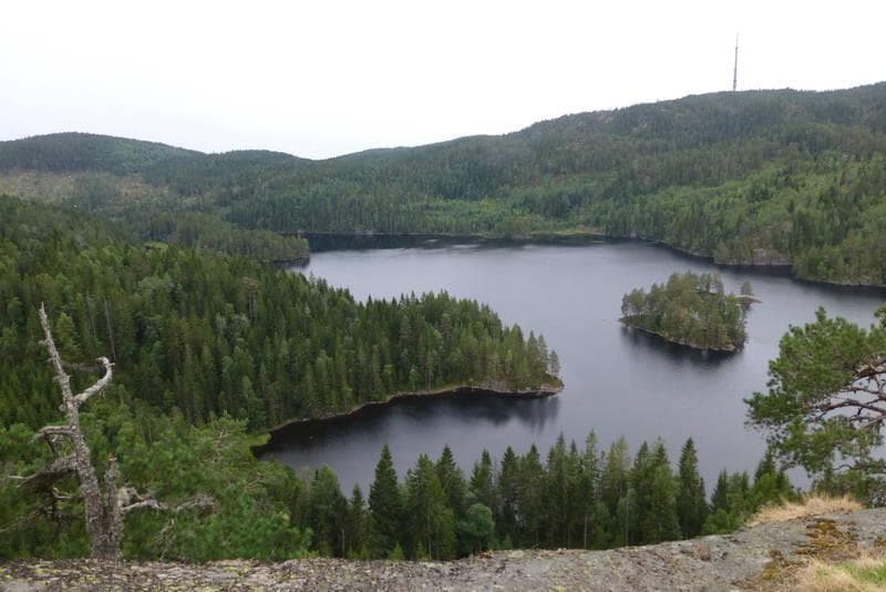
Hiking to Holmfjell
3748 Siljan
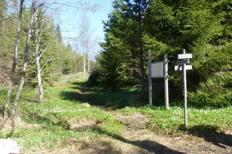
From Midtbygda school along the old road to Kikut
3748 Siljan

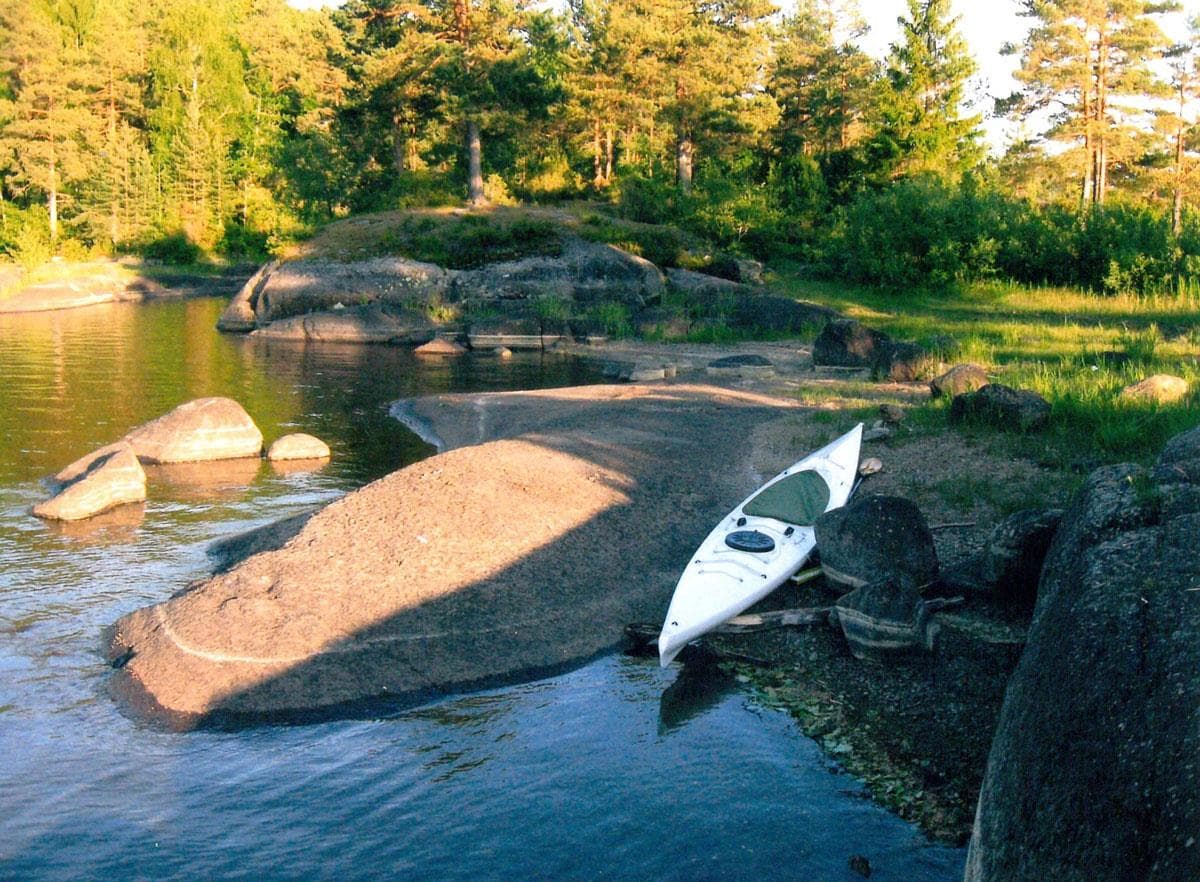
Canoeing in Siljan watercourse
3748 Siljan
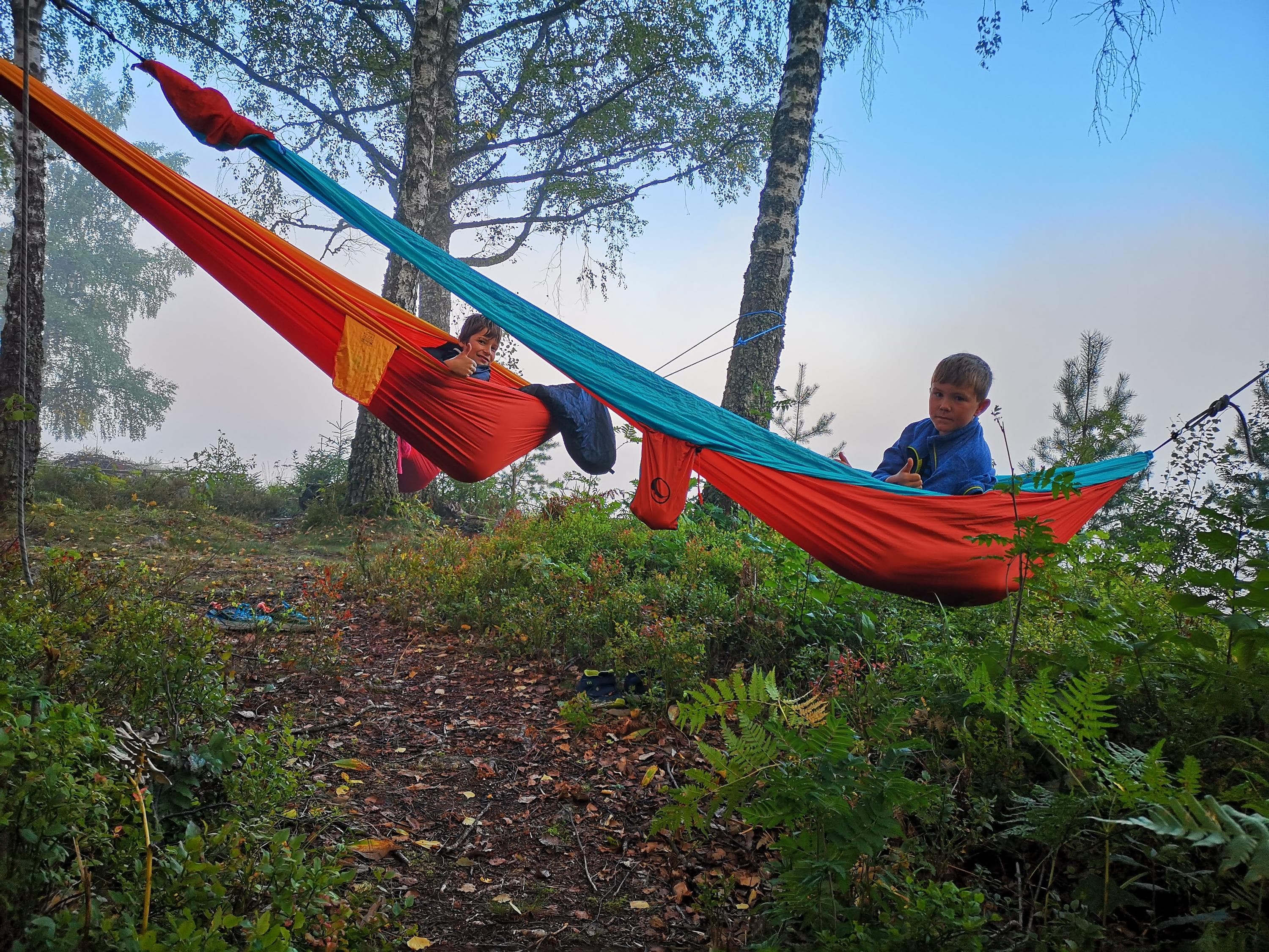
Walking areas in Siljan
Sentrumsvn. 105, 3749 Siljan
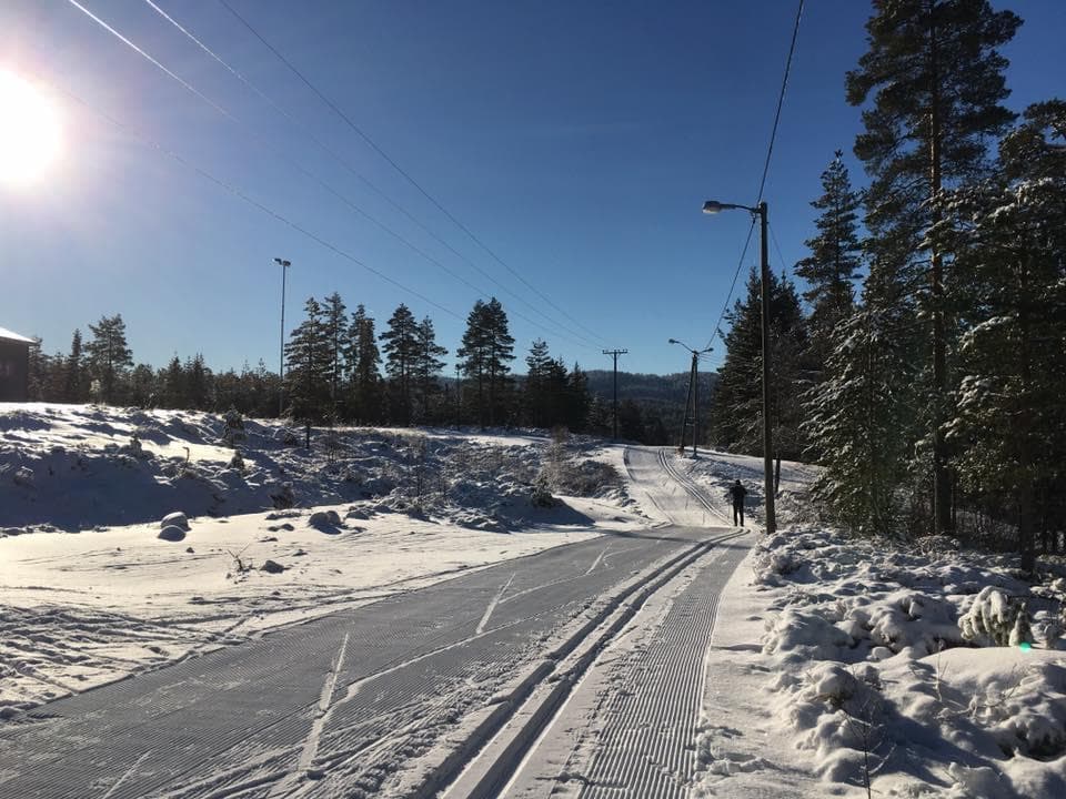
Hiking and ski activities in Siljan
3748 Siljan
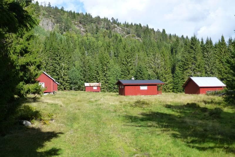
Hiking from Snurråsen to Prestegårdseter in Siljan
3748 Siljan
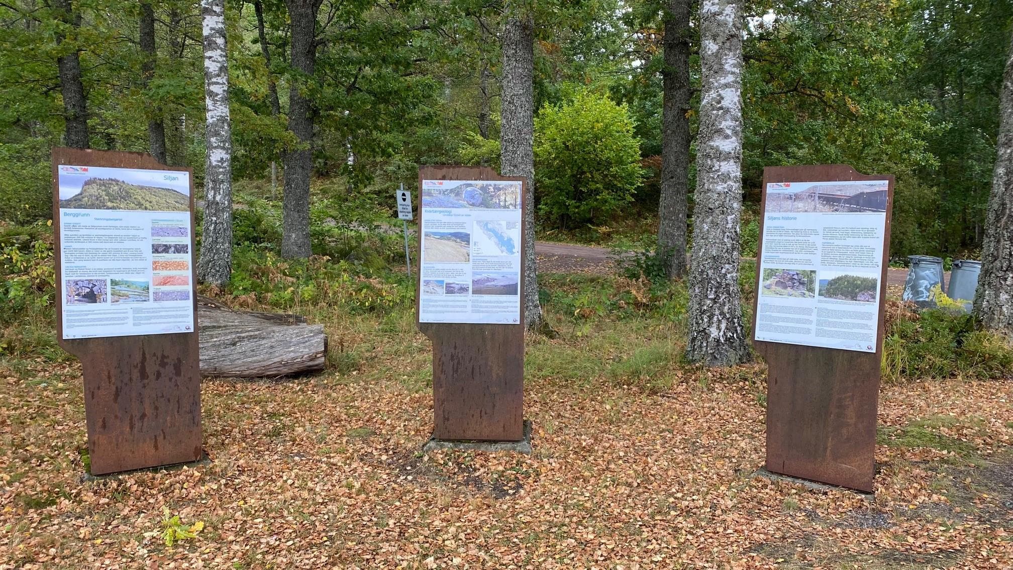
Gea Norvegica Unesco Global Geopark, Siljan
3748 Siljan
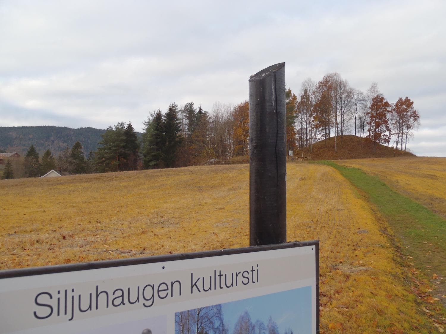
Siljuhaugen culture trail
3748 Siljan
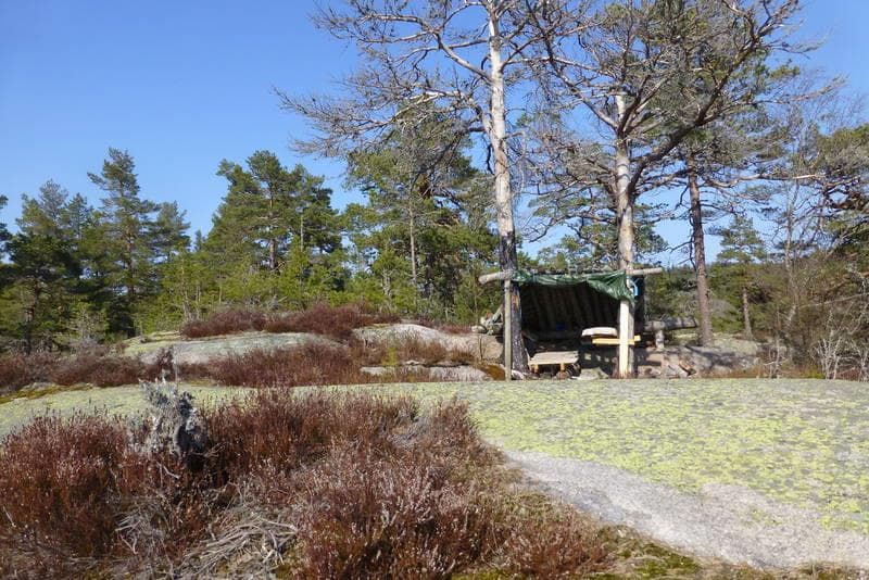
Top trip to Kløverrødkollen - round trip around Kløverødtjønn
3748 Siljan
Hiknig to Hovde
3748 Siljan
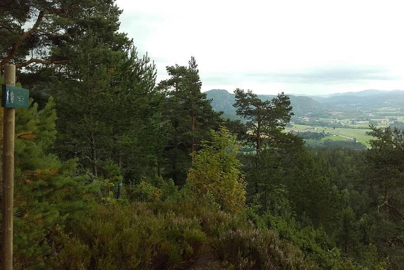
Hiking to Vieråsane viewpoint Åstjønn
3748 Siljan
The mound of Silju
3749 Siljan