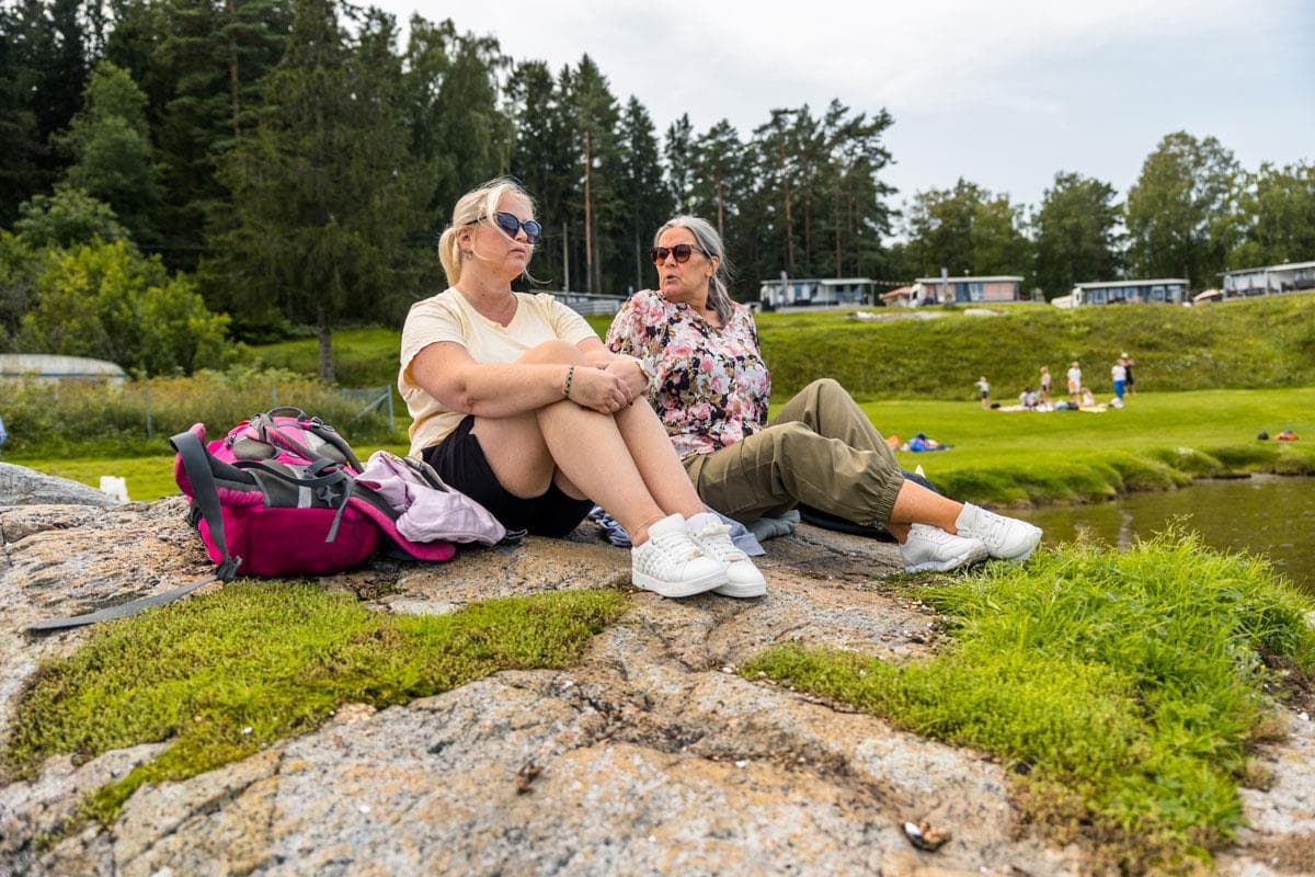
Hiking at Sandøya
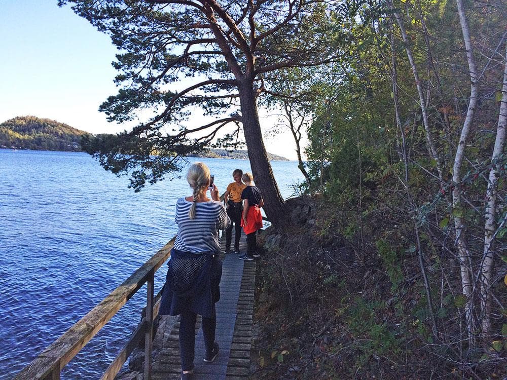
Sandøya is like a little Saltkråkan with cozy paths, small coves, beautiful beaches and cozy houses. There are many great round trips you can take here.
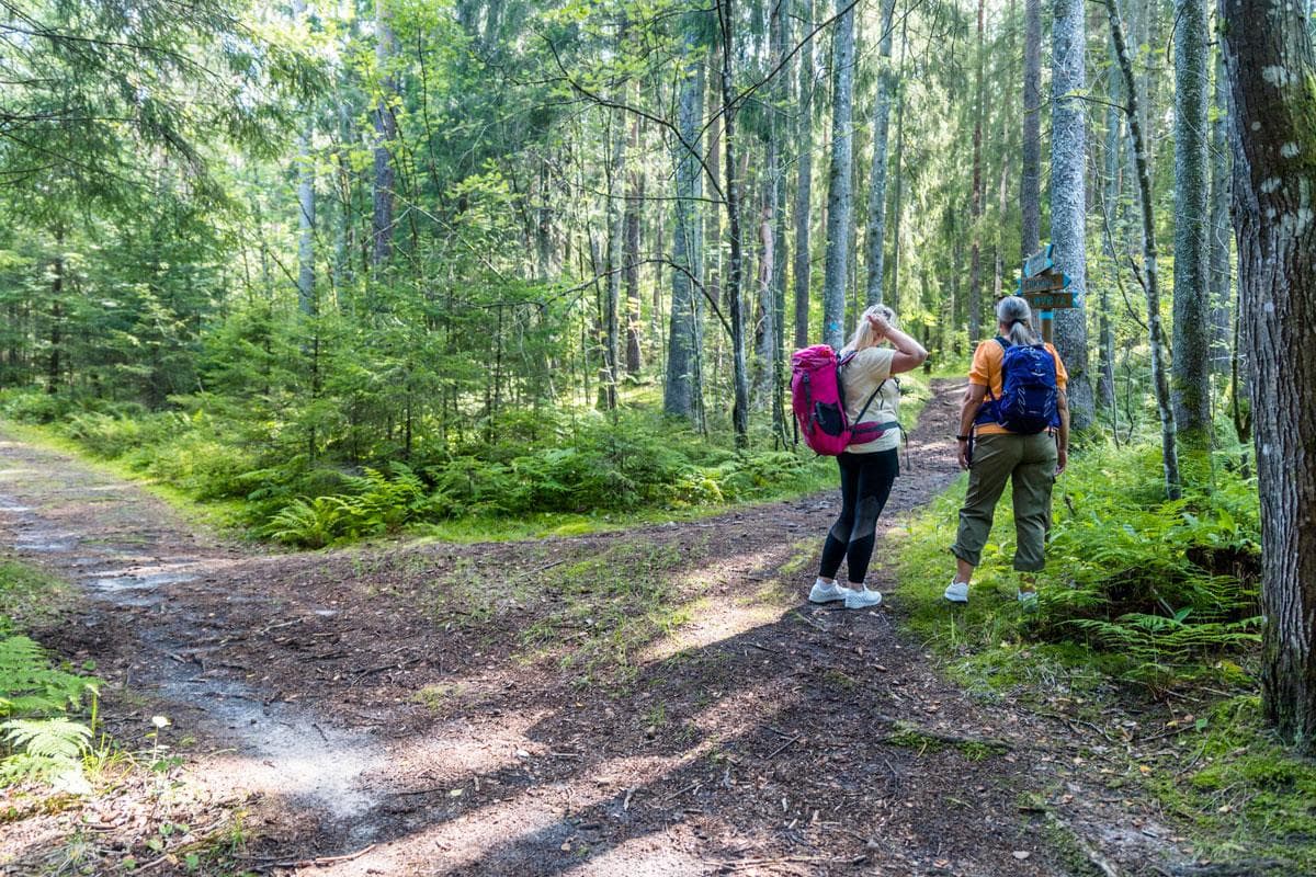
About
Sandøya, nestled in the archipelago, offers an idyllic holiday experience, often compared to a Norwegian "Saltkråkan" (a reference to a charming, fictional Swedish island). The island is perfect for those seeking cozy trails, small coves, lovely sandy beaches, and charming coastal houses. Sandøya is a car-free paradise that invites visitors to enjoy peace, tranquility, and nature.
Practical Information for Visitors
Accommodation: You can choose between camping in designated areas or using the small campsite at Dikkon.
Arrival/Transportation: During the summer, you can take the boat to Sandøya Brygge (Wharf). You can easily take the boat back from either Løvøya or Dikkon after your trip.
Food and Dining (Summer)
- Local youths sell waffles upon arrival at Sandøya Brygge during the summer holidays.
- Dikkon Campingplass has an open café and large kiosk during the summer season.
- Sandterna Bistro and a shop are located at Sundet.
Activities: Rent a bicycle at Sandøya Brygge to explore the island. The roads are narrow and well-suited for cycling and walking.
Popular Hiking Routes on Sandøya (Blue-Marked)
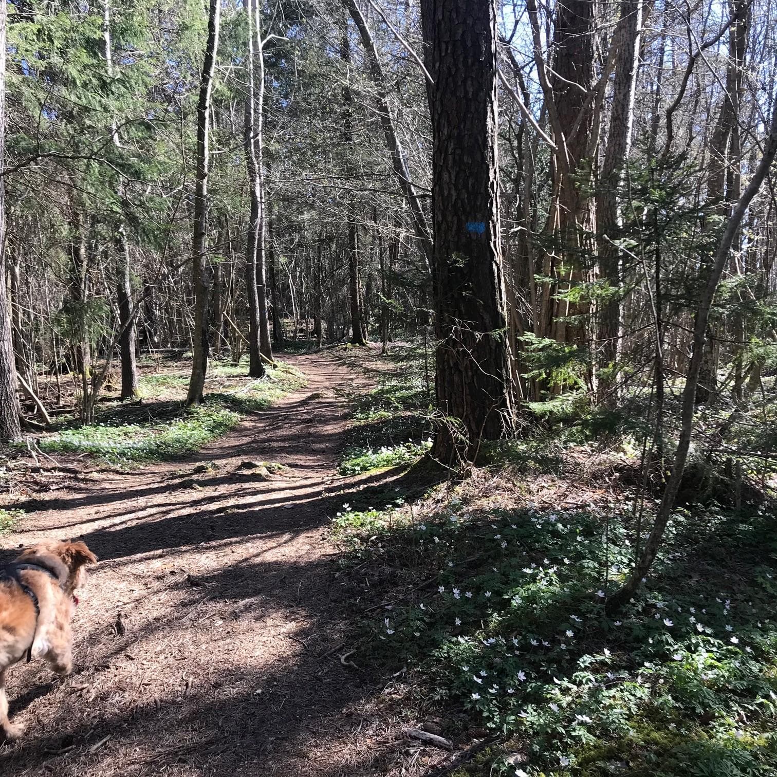
Sandøya has several great hiking opportunities for all levels. All routes are clearly marked in blue.
1. Kommunebrygga to Dikkon (1.3 km, approx. 20 min)
Follow the blue-marked paved road through the densely built area. You will pass the orchard and the school, and go up Brønnane to Skolelia. Feel free to take a detour to Rådyrhytta (Deer Cabin), a resting place with a roof shelter and a campfire site. The path mostly goes through tall coniferous forest and is wide and dry, although it may have some wet sections. Dikkon is the island's campsite, featuring a large grassy area, family-friendly sandy beaches, a guest pier, a seasonal café/kiosk, a water tap, and toilets.
2. Kommunebrygga to Løvøya (via Solvang farm) (2.4 km, approx. 30 min)
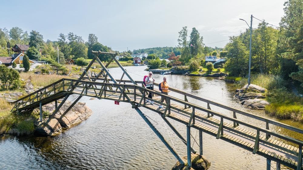
Follow the paved road past the orchard and school, and then Postveien towards Løvøya. The gravel road runs along the field with a view of Bjønneslandet. The path, which passes a natural clearing called Lille Danmark (Little Denmark), leads you to Løvøysundet with a footbridge over to Løvøya. Here, the blue-marked path continues through a cabin area, and you can take detours to Utsikten (The View) or Trulsetoppen (a nice resting spot). Continue to Friarealet (The Open Area), a grassy area and swimming spot with a dry toilet and water tap (summer). Right out on the point, you will find Løvøya ferry pier.
3. Kommunebrygga – Dikkon through the forest – Løvøya Brygge (3.4 km, approx. 45 min)
This is a combined route. Start like route 1 towards Dikkon, but follow the blue-marked wide path to the right from Skolelia (with the option of a detour to Rådyrhytta). From Dikkon, follow the path back a short distance, but turn left down Kleivane towards Løvøya. Here, the path follows the water past Lille Danmark and over the footbridge to Løvøya (as in route 2) and ends at Løvøya ferry pier.
4. Kommunebrygga to Dikkon (via Solvang farm/Forest Path) (2.4 km, approx. 30 min)
Follow Postveien past the school. At the trail junction in Smellkjeften, follow the path towards Dikkon. Here you can take a steep, blue-marked detour to Utsikten through old coniferous forest for a great view of the archipelago. The path continues through mixed forest until it descends through spruce forest and heather to Dikkon.
5. Kommunebrygga to Dikkon (Along the road) (1.5 km)
This route is suitable for strollers and bicycles. The road is narrow and paved. You pass a densely built area and the school, which has a ball court and a playground. The road is quite steep in some places, with coniferous forest and heather on both sides, and leads you to Dikkon with its sandy beaches and large grassy area.
6. Round Trip: Kommunebrygga – Sandøyveien – Grunntunga – Kommunebrygga (1.5 km)
Walk straight up Sandøyveien. Over the hilltop, Kujordet (Cow Field) is on the right side (often cows grazing). At the road junction, you can see Sandøya's oldest oak tree (from 1350). Turn right to Grunntunga, a shallow and sheltered sandy beach with tables and benches. Continue to Sundet where you will find Sandterna Bistro and a shop. Follow the road from the mole plain (harbour) back to the junction and down to Kommunebrygga.
Responsible Travel: Take Care of Sandøya
To preserve the nature and respect the environment on Sandøya, responsible travel is crucial:
- Always follow marked trails to avoid damage to the ecosystems.
- Take all your rubbish with you and practice Leave No Trace.
- Respect local rules, restrictions, and protected areas.
- Avoid disturbing wildlife.
By being conscious in your outdoor activities, you contribute to maintaining the beauty and sustainability of Sandøya for future generations.
Contact
info@visittelemark.no
Location
Practical information
- Hiking
- Nature trails
Nearby events

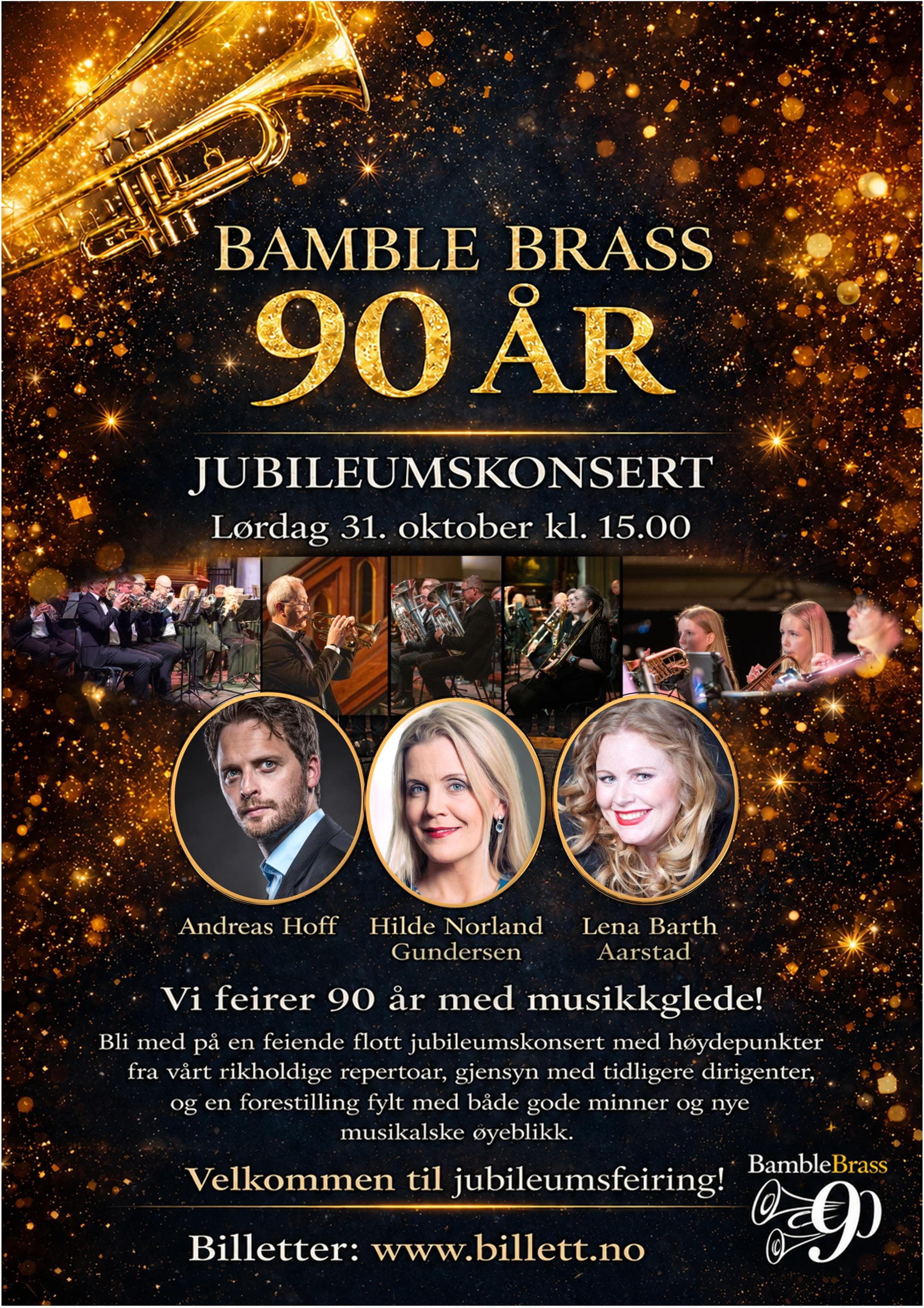

Grayson Capps duo (US) + supp. Rebekka Lundstrøm, Wrightegaarden, John G Scene
Tordenskjoldsgt 2, 3970 Langesund
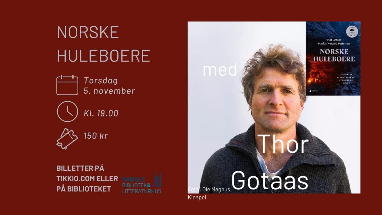


"En Showgirls bekjennelse" med Guri Schanke – 12. november på Quality Hotel™ Skjærgården
Stathelleveien 35, 3970 Langesund





Kunnskap på storskjerm: Da imperiet falt - en historisk reise gjennom Østerrike
Krabberødstrand 14, 3960 Stathelle

Barnas Jul med Erik & Kalle - 29.desember på Quality Hotel™ Skjærgården
Stathelleveien 35, 3970 Langesund

Related
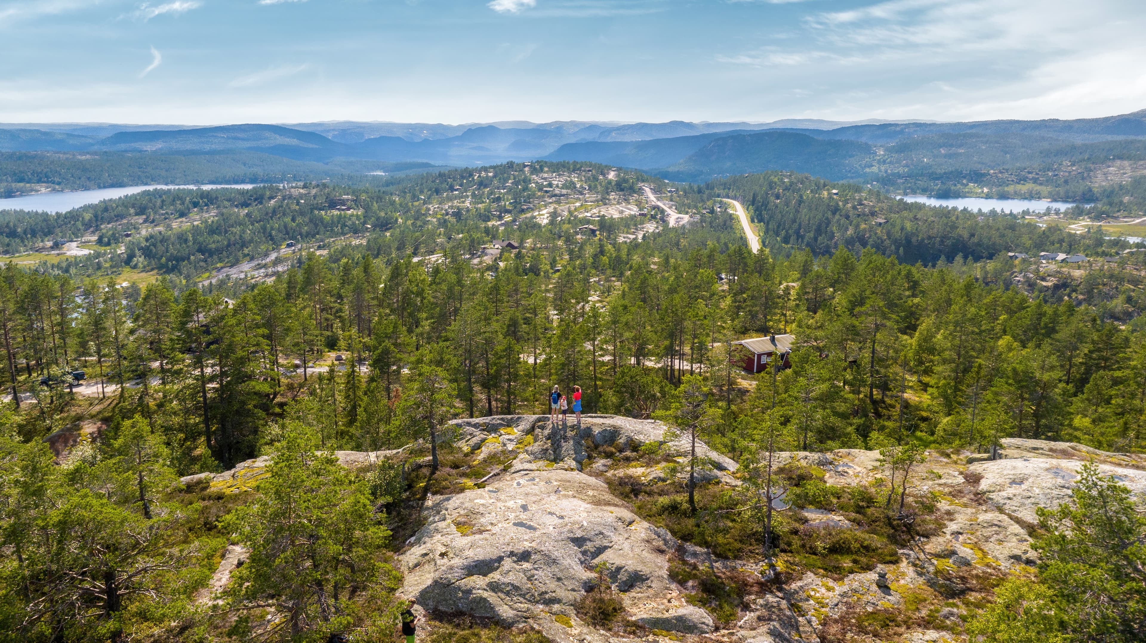
Guided hike with the landowner at Gautefallheia Sverre Tveit
Felehovet Sør 1, 3855 Treungen
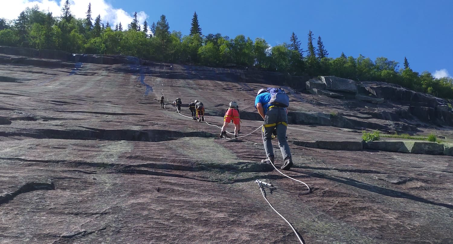
Via Ferrata in Fyresdal
Telemark Camping, Fyresdal, Norge
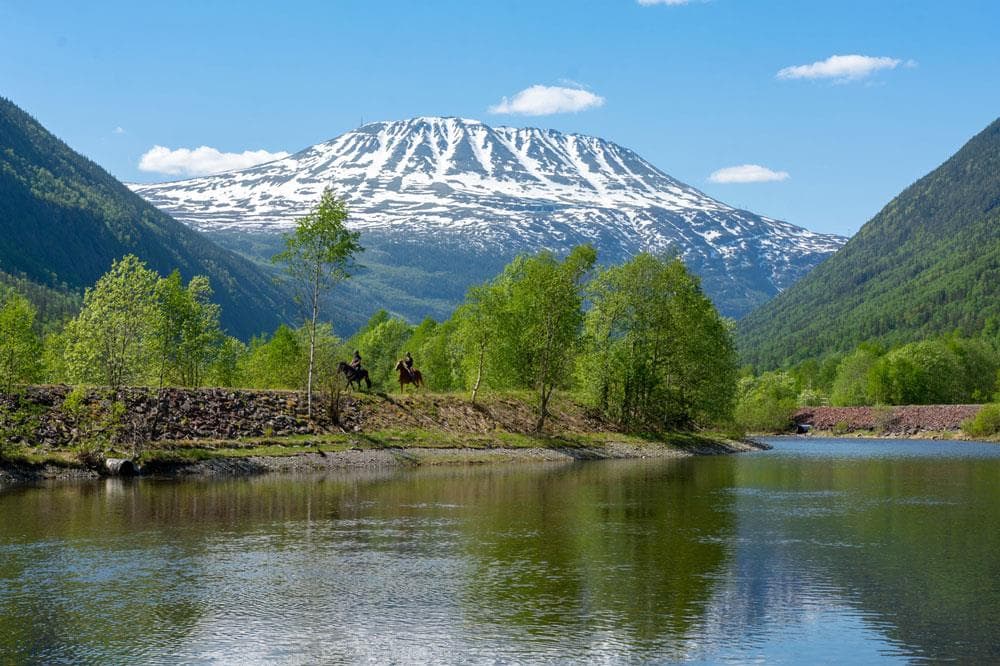
Gaustatoppen
Stavsro, 3660 Rjukan
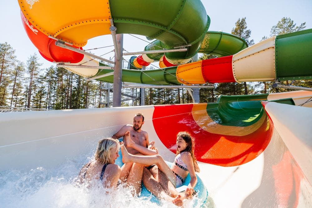
Bø Sommarland Waterpark
Steintjønnvegen 2, 3800 Bø i Telemark
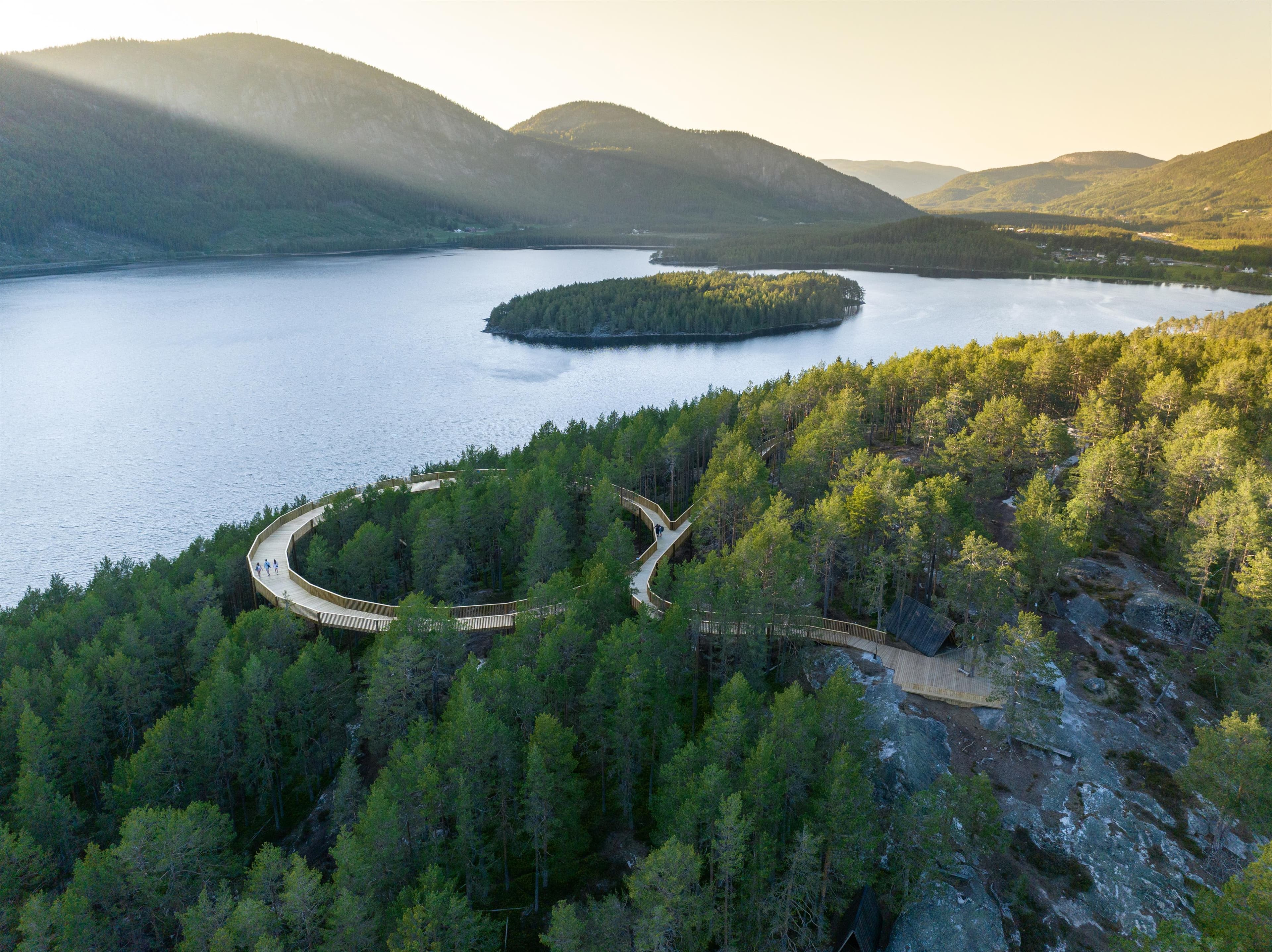
Hamaren
3870 Fyresdal
Norrøna Canvas Telemark
Heimdal, 3855 Treungen
Island hopping with bicycle
3770 Kragerø
Haukeli Husky
Arabygdvegen 800, 3864 Rauland
Skjærgårdsruta - The archipelago route
Stathellevn. 35, 3970 Langesund
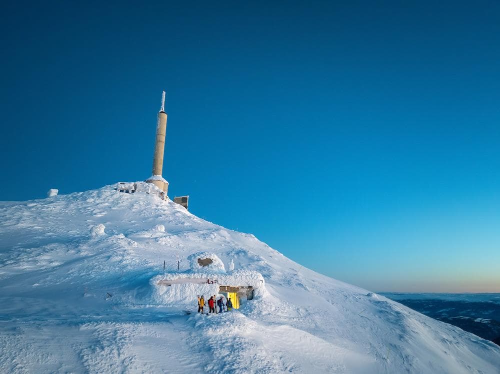
Off piste from Gaustatoppen
Gaustatoppen, 3660 Rjukan
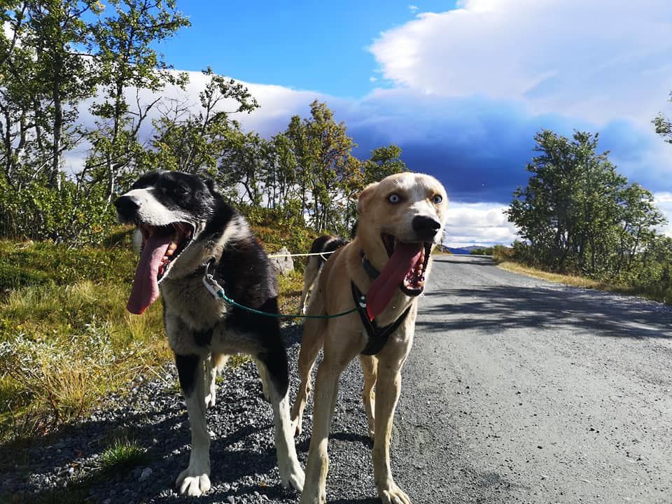
Telemark Husky Tour
3864 Rauland
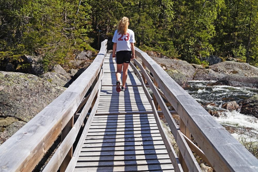
Mjonøy - Smorklepp Art Museum - Sorensen and Kihle
Mjonøy, 3890 Vinje
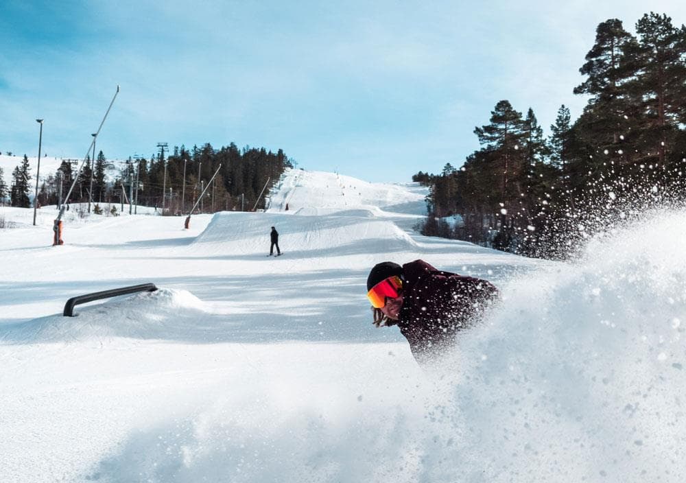
Gautefall Ski Resort
Gautefallheia, 3750 Drangedal
Hjartdal - Bjårvatn
Fossehalli, ungdomshuset i Tuddal, 3697 Tuddal
Hydrostranda - Bamble
3960 Stathelle
Kjerringstein trail
Hotellvegen 100, 3697 Tuddal
Morgedal Activ
Bygglandvegen 39, 3848 Morgedal
Lifjell Ski Resort
Lifjellvegen 833, 3804 Bø i Telemark
Nearby activities

Sandøya
3950 Brevik
Løvøya
3950 Brevik
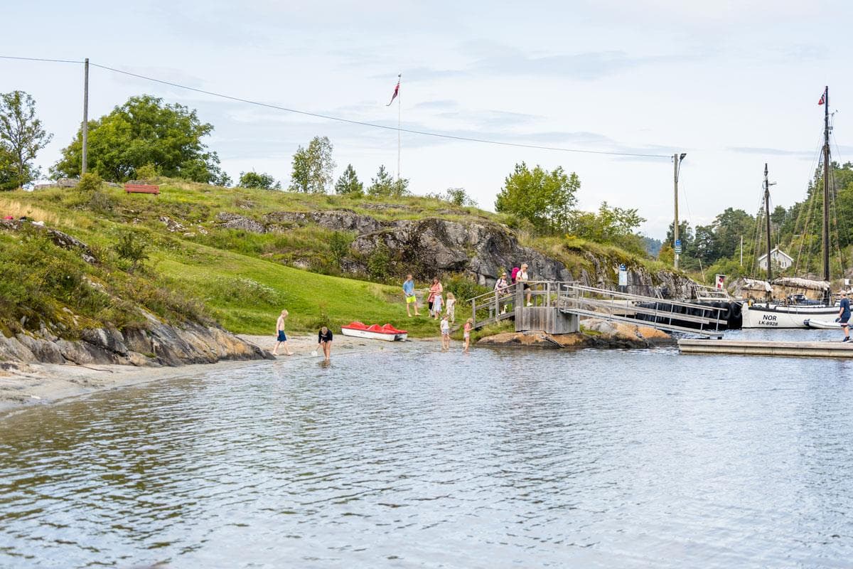
Dikkon swimming spot
3901 Porsgrunn
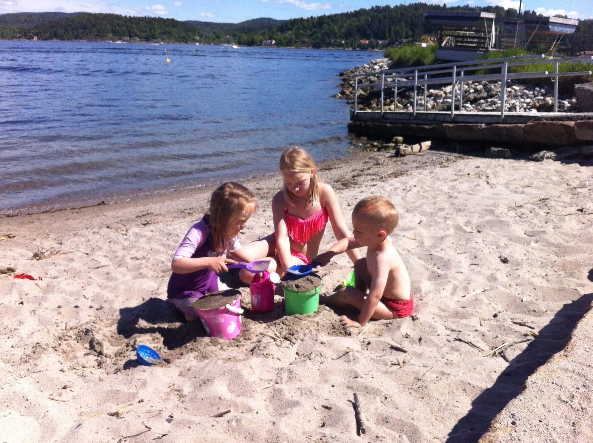
Øya swimming spot, Brevik
3901 Porsgrunn
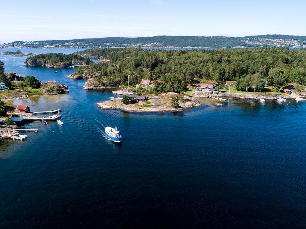
Bjørkøya
3950 Brevik
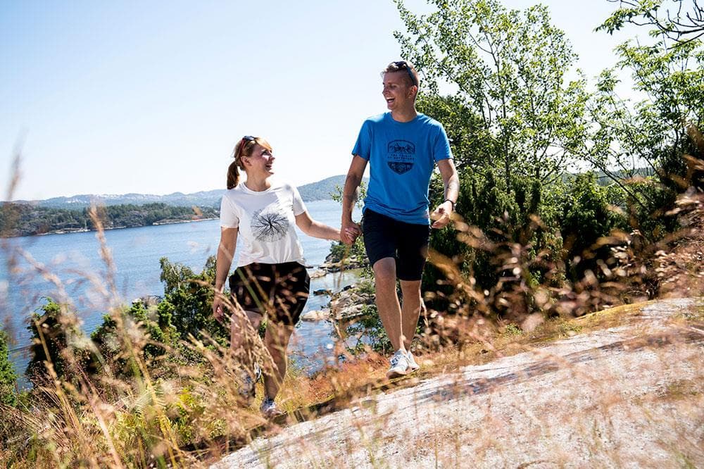
Coastal path at Bjørkøya
3950 Brevik
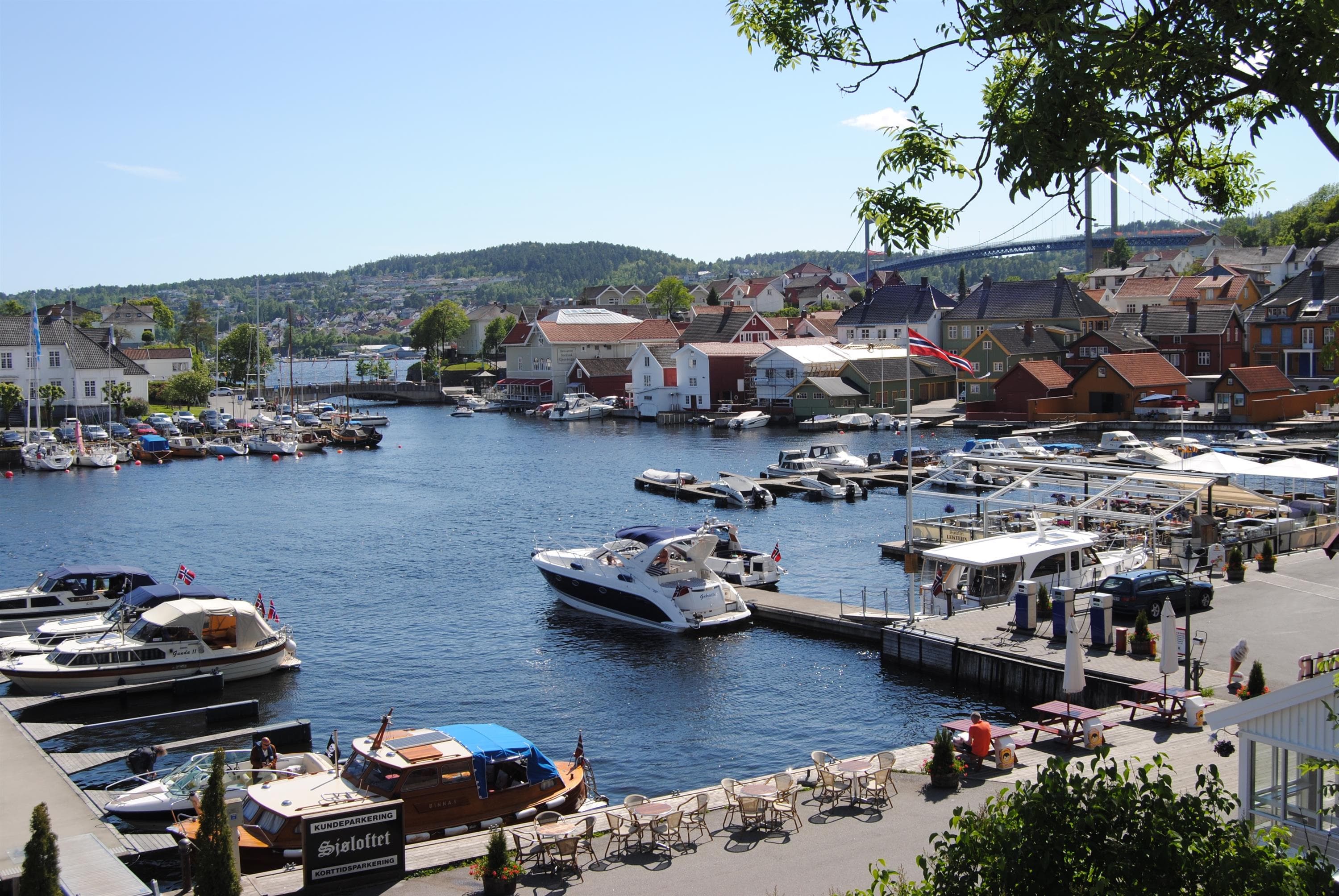
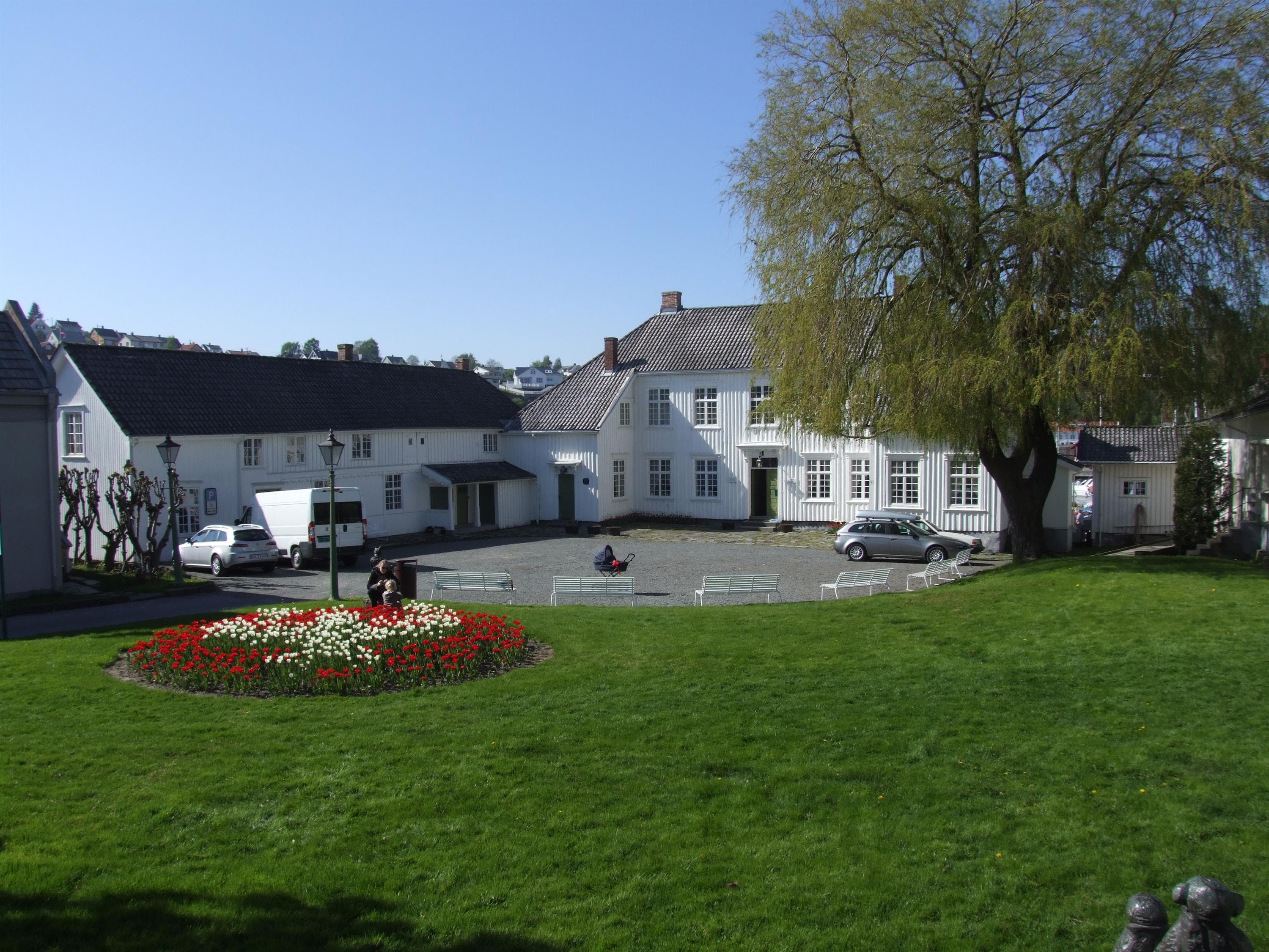
Brevik Town Museum
Kirkevegen 4, Brevik Gamle Rådhus, 3950 Brevik
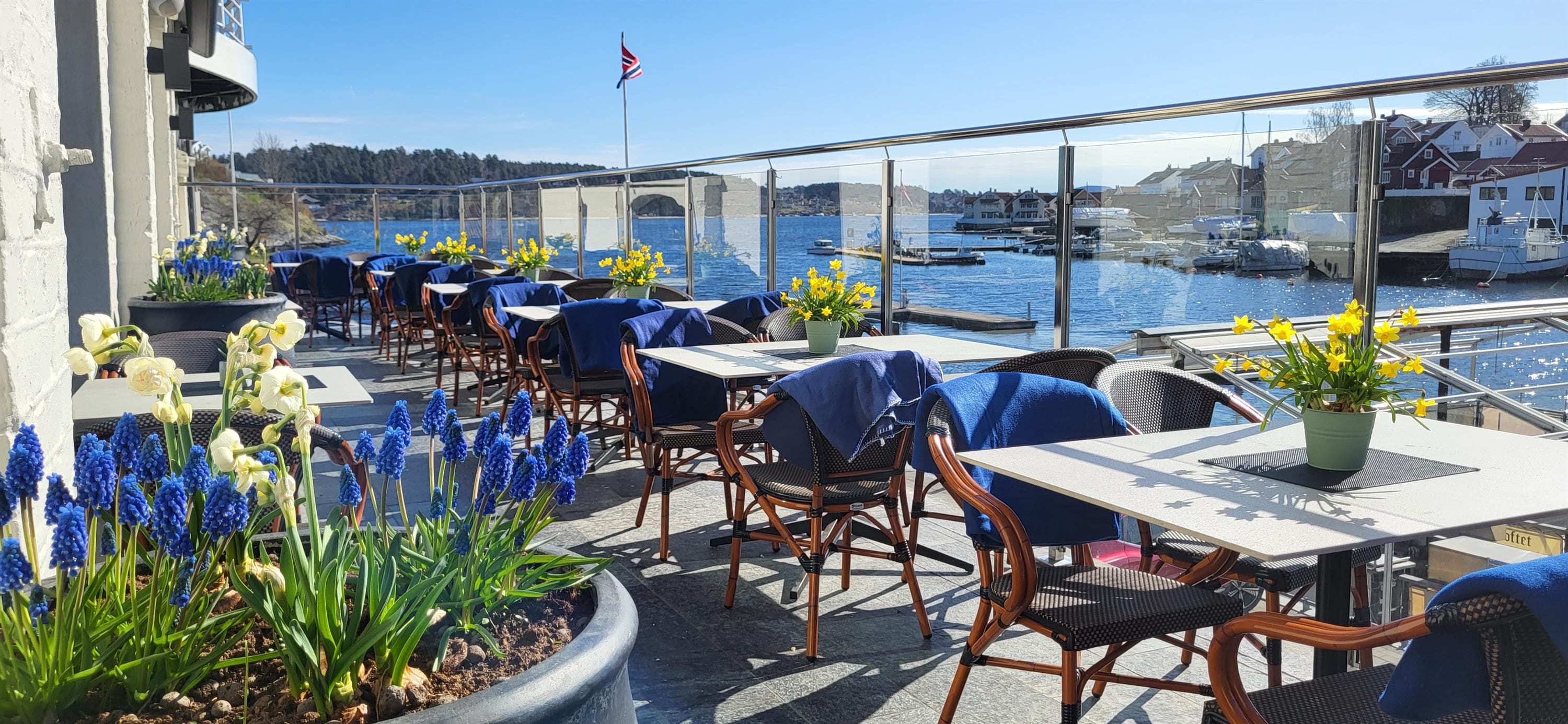
Sjøloftet restaurant
Storgata 6, 3950 Brevik
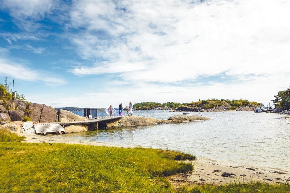
How to behave in the nature
3950 Brevik
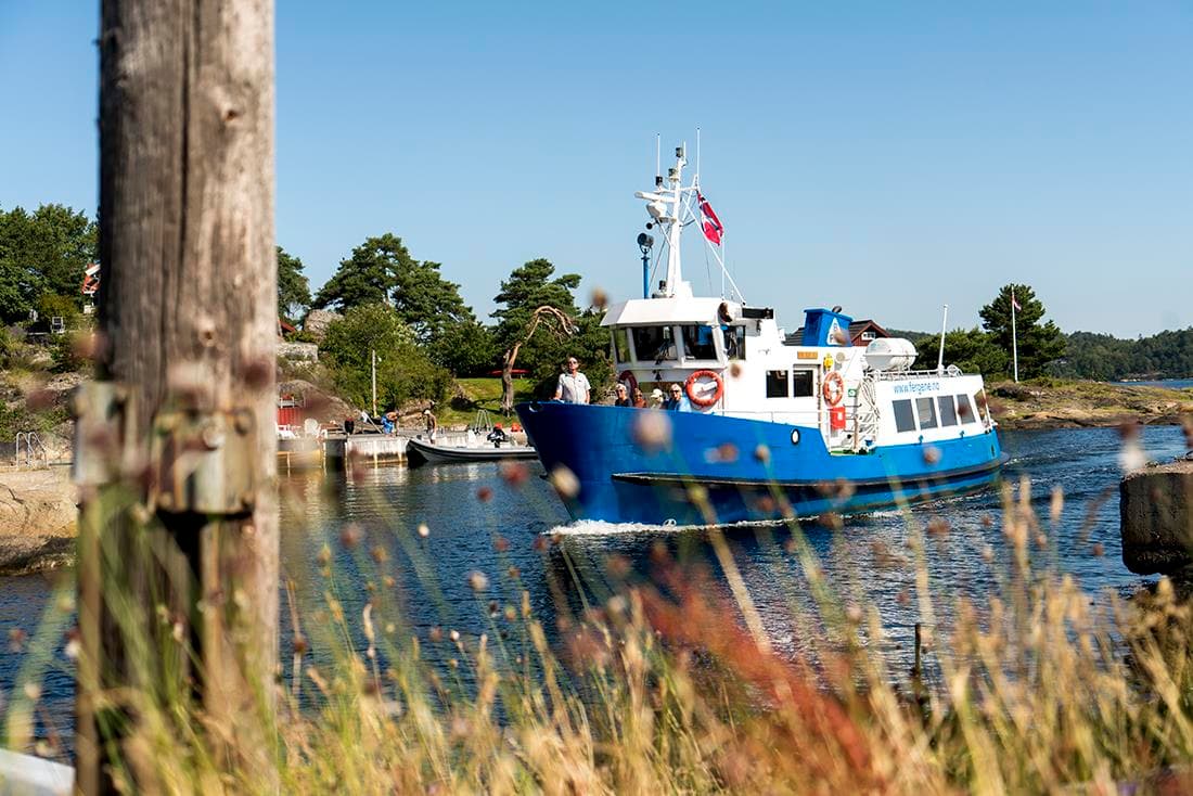
Brevik Fergeselskap IKS
Langbrygga, 3950 Brevik
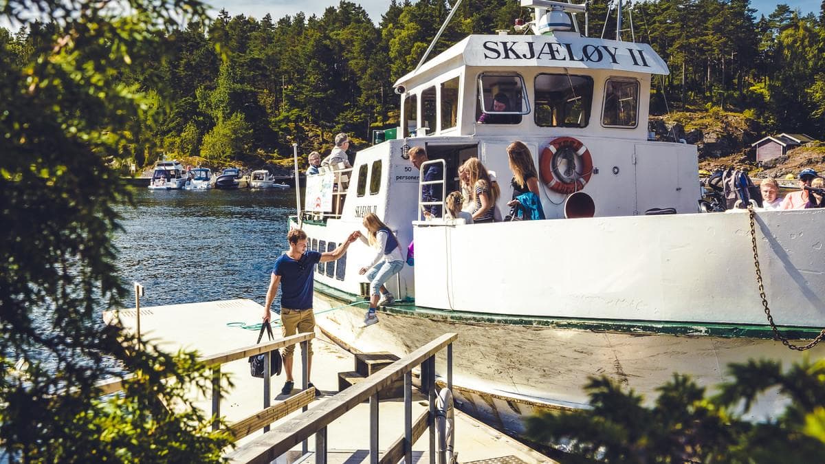
Timetable island hopping
3950 Brevik
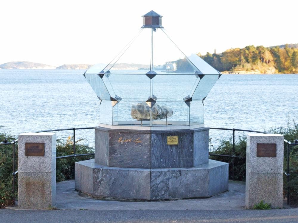
The Crystalhouse in Brevik
3950 Brevik
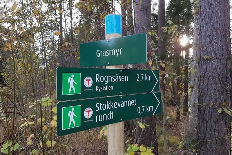
The Brevik–Skjelsvik coastal path
3950 Brevik